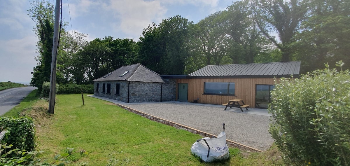
Add your own picture and explain the route, parking, gates, paths or landmarks that help people find it.
Earn 5 points after the picture is checked and accepted.
Add your photo and local directionsShare what you foundWhat is recorded here
Located on top of and at the centre of a WNW-ESE ridge (L c. 400m). It is not marked on any historical mapping but is located in an alcove attached to a larger field to the N. The cropmark of a circular area (diam. c. 25m) defined by a single fosse feature is visible only on OSI images (1995). The cropmark of a NNE-SSW field drain extends N from its perimeter at N and it could be incorporated into a regular but unmapped field system that is post-medieval in date. It was first reported by John Olney.
See the attached enhanced view from OSI (1995)
Compiled by: Michael Moore
Date of upload: 5 May 2023
The monument record does not grant public access. Check the route and ask the landowner before entering private land.