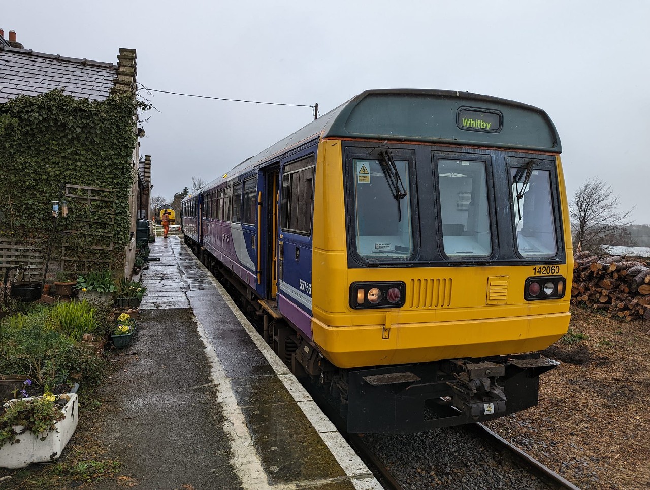
Add your own picture and explain the route, parking, gates, paths or landmarks that help people find it.
Earn 5 points after the picture is checked and accepted.
Add your photo and local directionsShare what you foundWhat is recorded here
This togher (Wth 0.12-0.19m) ran parallel to and S of another togher (LF026-035----) and was visible on the bog surface at two sightings. It was orientated NE-SW and was composed of longitudinally laid large brushwood and roundwood elements. (Rohan 2009, 127-8, LF-EDR005-)
Compiled by: Mary Tunney based on data supplied by Jane Whitaker, Archaeological Development Services.
Date of upload: 26 August 2011
The monument record does not grant public access. Check the route and ask the landowner before entering private land.