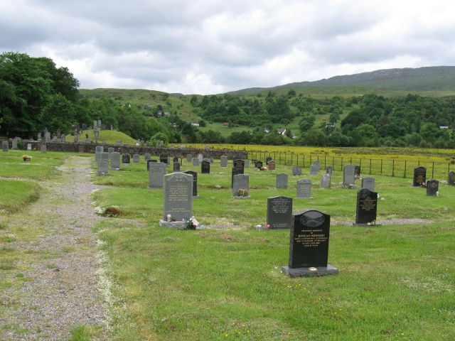
Add your own picture and explain the route, parking, gates, paths or landmarks that help people find it.
Earn 5 points after the picture is checked and accepted.
Add your photo and local directionsShare what you foundWhat is recorded here
The presence of a burial ground surrounding the Belfry Church (Clogas) (LF021-046----) was recorded in 1860, when Gordon Hills (1860, 340) wrote that; ‘about the Belfry Church the surface of the ground still bears palpable marks of former interments’. The square-shaped area (dims. c. 36m NE-SW x 39m SE-NW) enclosed by a wall built around 1882-3 by the Board of Works when carrying out repairs on the Belfry Church may partially enclose the burial ground which was described in 1860. A smaller rectangular-shaped area (dims. c. 19m N-S x 30m E-W) depicted to the north and east of the church on the 1836 ed. OSi 6-inch map may represent the burial ground described in 1860. On this map the Belfry Church forms the SW corner of the small rectangular shaped enclosure. Slight undulations in the surface of the ground to the E of the church may represent burial plots. No inscribed grave-markers and no headstones are visible.
Compiled by: Caimin O'Brien
Date of upload: 17 February 2023
The monument record does not grant public access. Check the route and ask the landowner before entering private land.