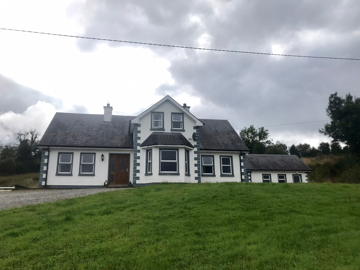
Add your own picture and explain the route, parking, gates, paths or landmarks that help people find it.
Earn 5 points after the picture is checked and accepted.
Add your photo and local directionsShare what you foundWhat is recorded here
Associated with a fortified house (LF018-038----), which is located within the S half of the interior. The 1837 edition and the 1911–12 revision of the OS 6-inch map indicate that the bawn was divided into two by an internal E–W running wall that extended off the N wall of the house. A possible angle tower noted by Wilson (1892, 291) was described as a ‘rounded projecting portion of the wall, which enabled the defenders to enfilade any attacking parties’. This large rectangular bawn (90.8m NNW–SSE; 60.4m ENE–WSW) is enclosed by a substantial stone wall (Wth 1.9m; H c. 4.5m). The original entrance is not evident but it may have been in the SE angle where a gateway accesses the interior. A large section of the wall at this angle has been rebuilt. Farm buildings now occupy the NE angle. Two gun loops are visible in the N wall and there is one possible blocked-up example in the S wall. No visible surface trace of the possible angle tower survives. However, the NW angle displays evidence of having been rebuilt, which might suggest that it was located here. Wall-footings (L 4.3m), running to the E from the N end of the E wall of the main block of the house may be the remains of the E–W internal dividing wall. A church (LF018-039----) and graveyard (LF018-039001-) lie c. 440m to the SE.
Compiled by: Caimin O'Brien
Date of upload: 20 September 2012
The monument record does not grant public access. Check the route and ask the landowner before entering private land.