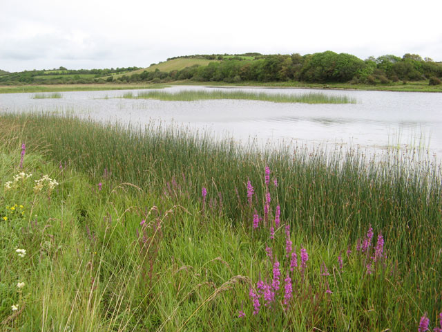
Add your own picture and explain the route, parking, gates, paths or landmarks that help people find it.
Earn 5 points after the picture is checked and accepted.
Add your photo and local directionsShare what you foundWhat is recorded here
Nearly in the centre of Derragh Lough. This almost circular high-cairn crannog (c. 33m E-W; 18m N-S) rises 2.22m high above the muddy lake-bed and is overgrown with trees and other vegetation. It is surrounded by reeds and aspect from the crannog is limited in all directions. Slightly off-centre to the NE is a raised cairn (14m N-S; 13m E-W): a possible house structure. Samples from two horizontal timbers set in the cairn on the NE side yielded dendrochronological dates of AD 972 +/- 9 or later (Q10389) and AD 1023 +/- 9 or later (Q10391) and it is suggested that these may represent activity involved in building the cairn. The cairn is surrounded by a raised plateau, at the NW edge of which is a concentration of overlapping stones that may be a possible harbour feature. A further concentration of boulders and flagstones at the W edge of the plateau is considered to be a breakwater. The band of reeds around the crannog stretches out c. 9-10m in all directions. It is not clear to what degree the reeds best correspond with the crannog proper. A total of 37 timbers were located below the water level along the W, NW and N sectors of the monument: no timbers were found along the S perimeter. Most of these were of oak and had been laid in a radial pattern though a significant number running parallel to the crannog was also identified and appeared to sit on brushwood matting. A number of vertically set timbers were also found on the W side of the crannog though an underwater survey did not reveal any evidence for a palisade. The timbers yielded dendrochronological dates from the late 10th to the mid-11th centuries AD. A copper-alloy strap end or belt chape and a slash-hook were recovered from the site (Fredengren et al. 2010, 145-50). (O'Donovan 2002, 26; Fredengren 2004c; Moore 2007, No. 11)
Compiled by: Christina Fredengren, Paul Walsh
Date of upload: 13 January 2013
The monument record does not grant public access. Check the route and ask the landowner before entering private land.