Add your own picture and explain the route, parking, gates, paths or landmarks that help people find it.
Earn 5 points after the picture is checked and accepted.
Add your photo and local directionsShare what you foundWhat is recorded here
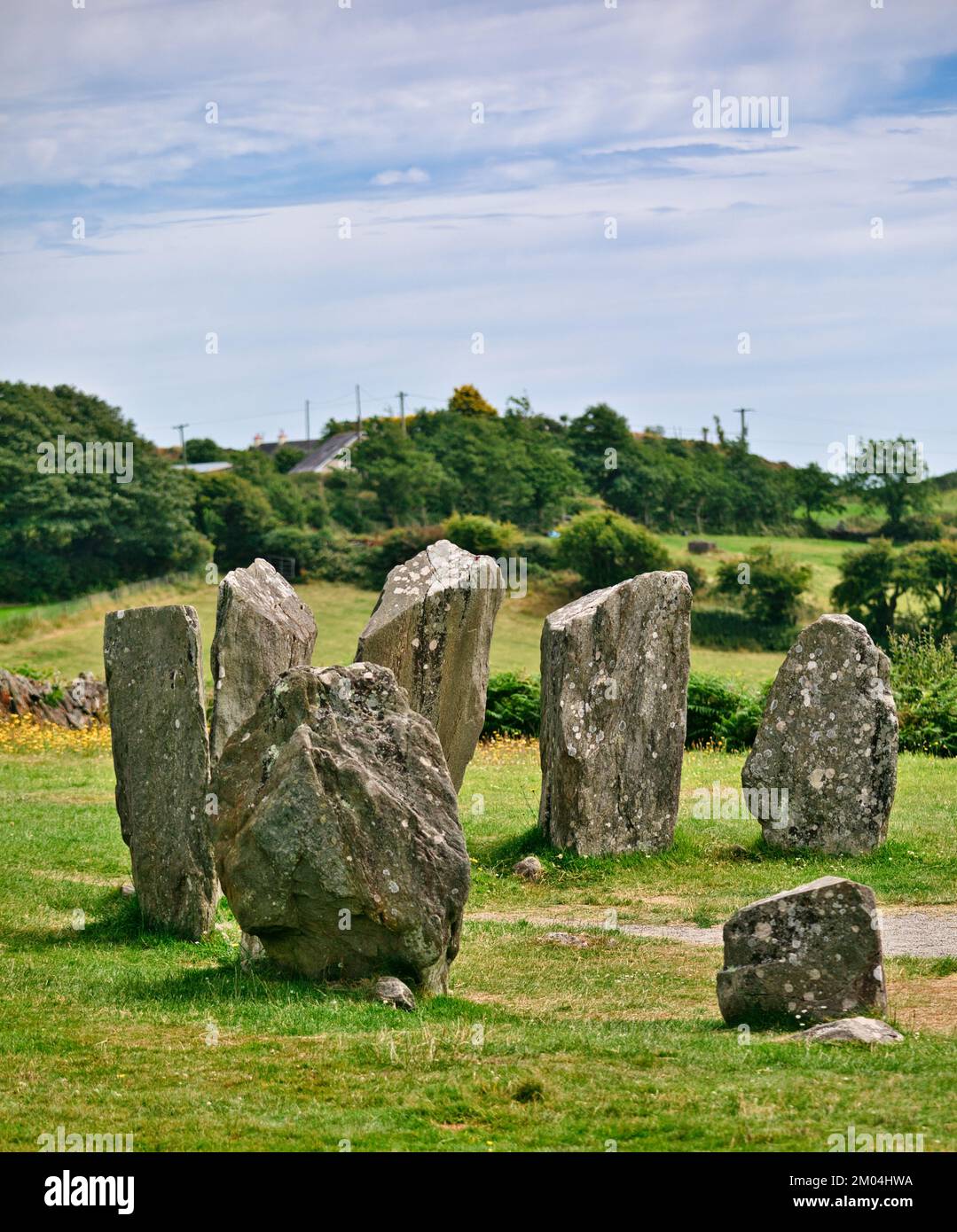
On a slight slope in farmland. Not indicated on the 1837 or 1887 eds. of the OS 6-inch map. An upright stone (H 1m), aligned approximately E-W, stands 2.5m E of two prostrate slabs, the larger almost 2m in maximum dimension. Although not included by de Valera and Ó Nualláin (1972, 89) in their main list these three stones might be the last vestiges of a megalithic tomb. (ITA Survey 1944; de Valera and Ó Nualláin 1972, 89, no. 2)
Compiled by: Eamon Cody
Date of upload: 22 November 2012
See linked documents with plan (LF011-004----_02) and details (LF011-004----_01) from Ruaidhrí de Valera and Seán Ó Nualláin, Survey of the Megalithic Tombs of Ireland. Volume III. Counties Galway, Roscommon, Leitrim, Longford, Westmeath, Laoighis, Offaly, Kildare, Cavan. (Dublin: Stationery Office, 1972).
The monument record does not grant public access. Check the route and ask the landowner before entering private land.