Add your own picture and explain the route, parking, gates, paths or landmarks that help people find it.
Earn 5 points after the picture is checked and accepted.
Add your photo and local directionsShare what you foundWhat is recorded here
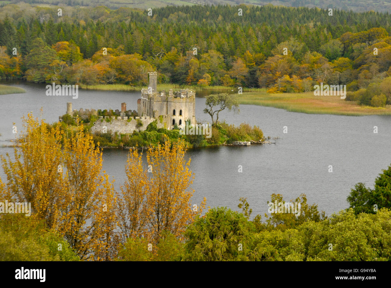
In a bay at the NE end of Lough Forbes. This high-cairn crannog (25.25m E–W; 21.6m N–S) rises 2.35m above the soft lake-bed and its perimeter is overgrown with mature trees and nettles. Centrally placed is a rectangular brick house (8m E–W; 5m N–S), which is located in a slight hollow (12m N–S; 9m E–W). It is likely that the top of the crannog was partly removed to make room for the house. Dense stone packing (Wth 4.2–8.3m), which also forms the visible edges around the crannog, surrounds the hollow. The packing consists of both flagstones and subangular stones (diam. c. 0.3–0.4m). The rim of the island is surrounded by a modern, wooden railing, built of vertical posts connected to each other by nailed horizontal timbers. The stony edge is less prominent to the E where a modern harbour feature can be found. This feature is U-shaped and consists of two arm-like extensions stretching out into the water. The S arm (L 18.9m; Wth 2.2m) has a base of subangular stones and a surface of cement. Along its edges are traces of the same wooden railing that surrounds the rest of the island. The second arm is located 5.8m to the N. It is shorter (L 13.8m; Wth 2.2m) and is built of the same material as the S one. The crannog has further ancillary features, including two rectangular stone platforms to the N: the W example (4.2m N–S; 3.2m E–W) is slightly larger than the E one (3.6m E–W; 3.2m N–S), which is framed by a wooden railing. Parallel to this feature is a sunken wooden floor (3.6m N–S; 2.1m E–W) consisting of horizontal timbers laid out side by side. On the S side of the crannog there is another rectangular stone feature (6.4m N–S; 3.4m E–W). Wilde (1860, 150) described this crannog as that where the Earl of Granard found stockading and traces of wickerwork and noted that several bronze-pins were found when it was excavated. (Wood-Martin 1886, 33)
Compiled by: Christina Fredengren
Date of upload: 13 January 2013
The monument record does not grant public access. Check the route and ask the landowner before entering private land.