Add your own picture and explain the route, parking, gates, paths or landmarks that help people find it.
Earn 5 points after the picture is checked and accepted.
Add your photo and local directionsShare what you foundWhat is recorded here
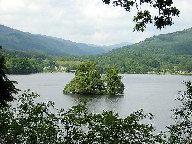
At the SE end of Lough Nabelwy, which has a stony shoreline. This oval, high-cairn crannog (19.8m E–W; 14m N–S) rises 1.8m above the soft, muddy lake-bed and is moderately overgrown with grass, a tree and some shrubs. Two centrally located, low cairns (covering an area 8.4m N–S; 7.2m E–W) consist of a thin layer of angular and subangular sandstones spread out over what seems to be a timber floor. The edges of the crannog are submerged but stones forming a plateau are evident all around it. Vertical timbers (L c. 1.5m; Wth c. 0.15m) were noted on this part of the crannog and a possible vertical post was found to the S of it. The edges of the crannog are distinct in material and form against the lake-bed. A rectangular feature (2m NE–SW; 1m NW–SE) at the SW, composed of subangular stones, may be a small jetty.
Compiled by: Christina Fredengren
Date of upload: 13 January 2013
The monument record does not grant public access. Check the route and ask the landowner before entering private land.