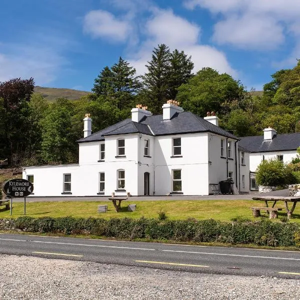
Add your own picture and explain the route, parking, gates, paths or landmarks that help people find it.
Earn 5 points after the picture is checked and accepted.
Add your photo and local directionsShare what you foundWhat is recorded here
Situated on the N side of an E-W ravine in mixed woodland and c. 80m SE of Creevelea Iron Works (LE016-008----). It is marked only on the 1907 edition of the OS 6-inch map.
Surveyed by A. Harte (Leitrim Sweathouse Project) and described as a heavily collapsed structure, comprising a possibly D-shaped chamber (diams. c.2m E-W; c.1.7m). While the front façade has collapsed, it may have been straight-sided, facing NW and diagonal to a nearby cliff-face. Internally, evidence of corbelling survives at NW (max int. H: 0.9m at NE corner).
See attached document:
• LE016-033----_1 Sketch plan of sweathouse by A Harte, 30/08/22.
Compiled by: Michael Moore and Gearóid Conroy
Date of revision: 16 November 2022
The monument record does not grant public access. Check the route and ask the landowner before entering private land.