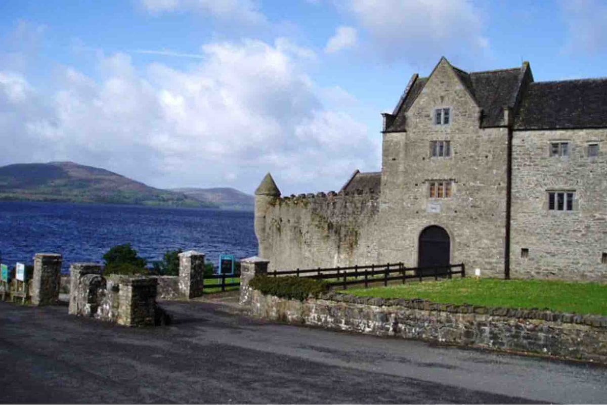
Add your own picture and explain the route, parking, gates, paths or landmarks that help people find it.
Earn 5 points after the picture is checked and accepted.
Add your photo and local directionsShare what you foundWhat is recorded here
Situated at the E end of and at the narrowest point of an old loop (dims c. 80m NE-SW; c. 40m NW-SE) of the Bonet River which has silted up but is still wet (Wth c. 10m; D c. 1m). Walter Harrison received a grant of 1500 acres in 1621-2 as the manor of Dunbrandon (Mac an Ghalloglaigh 1971, 254). The curving wall of a corner-tower (int. diam. 3.6m; H 5m; T 1.15m) survives with a small light and an internal recess (Wth 1.3m; D 0.6m; H 2m) at the ground floor, and a window at first floor level. There is part of a wall (L 1.2m) attached to N, with a putlog. The loop of the river would have served as a natural bawn or court. According to local tradition, the first-floor window is that through which Dervogilla, the wife of Tiernan O'Rourke, eloped with Diarmuid Mac Murrough (Faughnan 1943, file no. 140). (McDermott 2019, 115-6)
The above description is derived from 'The Archaeological Inventory of County Leitrim' compiled by Michael J. Moore (Dublin: Stationery Office, 2003). In certain instances the entries have been revised and updated in the light of recent research.
Date of upload: 23 September 2008
The monument record does not grant public access. Check the route and ask the landowner before entering private land.