Add your own picture and explain the route, parking, gates, paths or landmarks that help people find it.
Earn 5 points after the picture is checked and accepted.
Add your photo and local directionsShare what you foundWhat is recorded here
In undulating countryside. Possible unclassified religious house (Gwynn and Hadcock 1970, 364) associated with St Fintan (O'Flanagan 1933, Vol. 2, 16-17). Monastic building at Clonagh described in 1801 as; 'There was formerly a monastery at Clonagh a fine steeple was erected here and was pulled down by the barbarian who tenanted the ground, for the sake of the limestone of which it was built. The ruins of the monastery are yet to be seen with the vestige of a curious arch' (Coote 1801, 188; O'Flanagan 1933, Vol. 2, pp. 16-17)' This is shown as a large Church on the old Map of Leix and Offaly (Hore 1863). Monastery ruins described by Comerford (1886, vol. 3, 76) as; 'Due east of Old Court, at a distance of about half a mile, and with distinct traces of a roadway connecting both places, there is a burial ground (LA032-007002-), now disused, in the townland of Clonagh'.
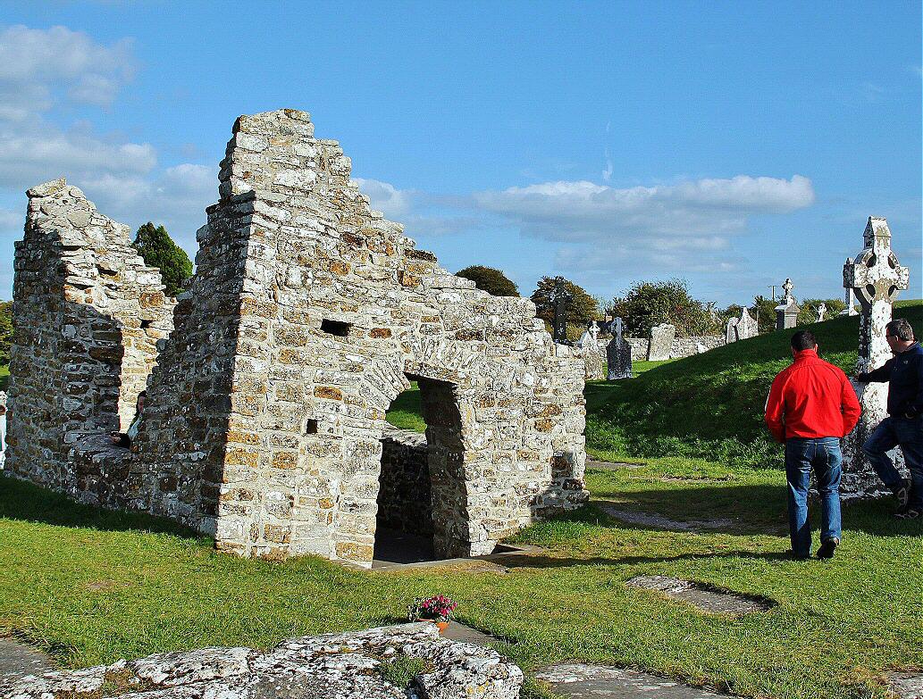
Present remains consist of a twin towered gatehouse on the E side of a medieval building the identity of which remains uncertain. According to Sir Charles Coote this was the remains of a monastery depicted on the Cotton map of Laois-Offaly dating from c. 1563. However on this map it is not clear whether the building depicted represented the remains of a monastery or of a castle. The partially destroyed gatehouse was protected by a moat or fosse now filled in but visible on Google Earth orthoimages. The present farm track to E appears to follow the line of a medieval road which leads up to the entrance with a partly destroyed arch set into a rebated gateway which may have accommodated a drawbridge or portcullis gate. This archway is flanked on either side by a single storey square-shaped tower which survive one storey high. The tower on the side is best preserved with a line of three putlog holes visible on E face of building. Directly inside the archway there is a doorway on the S side which gives access to the S tower. Inside this chamber there is a small flat-headed doorway which gives access to a circular-shaped barrel-vaulted chamber which may have provided access to a mural stair in W wall. The tower on the N side of the gateway is not accessible as it is covered in vegetation making detailed examination impossible. A short section of wall extends N from N face of N tower which returns W and is now incorporated into the present field boundary. The architectural remains would indicate that this building represents the gateway of a medieval castle rather than that of a monastery. Alternatively this gateway could be the entrance of a fortified monastery on the E side of the precinct wall. Outline of upstanding remains are clearly visible on 1906 ed. OSi 25-inch map.
See attached Cotton map of Laois-Offaly showing the medieval building standing close to the Douglas River.
The above description is derived from the published 'Archaeological Inventory of County Laois' (Dublin Stationery Office, 1995) compiled by P. David Sweetman, Olive Alcock and Bernie Moran. In certain instances the entries have been revised and updated in the light of recent research.
Revised by: Caimin O'Brien
Date of revised upload: 14 May 2021
The monument record does not grant public access. Check the route and ask the landowner before entering private land.