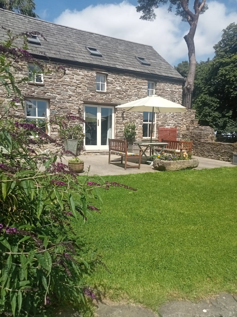
Add your own picture and explain the route, parking, gates, paths or landmarks that help people find it.
Earn 5 points after the picture is checked and accepted.
Add your photo and local directionsShare what you foundWhat is recorded here
Cropmark of subcircular enclosure visible on aerial photograph (CUCAP, BGN 64). No visible surface remains.
Aerial photograph (GB91.EE.24/25; GB91.EG. 23-26) shows cropmark of a curvilinear enclosure defined by a fosse. The levelled enclosure was photographed as a cropmark on 17 July 1991. Also visible as a cropmark on Google Earth, imagery date 28 June 2018.
The above report has been compiled by Dr. G. F. Barrett and supplied to the Archaeological Survey of Ireland.
The above description is derived from the published 'Archaeological Inventory of County Laois' (Dublin Stationery Office, 1995) compiled by P. David Sweetman, Olive Alcock and Bernie Moran. In certain instances the entries have been revised and updated in the light of recent research.
See attached Google Earth image, imagery date 28 June 2018.
Compiled by Caimin O'Brien
Date of upload / revision : 10 December 2010
The monument record does not grant public access. Check the route and ask the landowner before entering private land.