Add your own picture and explain the route, parking, gates, paths or landmarks that help people find it.
Earn 5 points after the picture is checked and accepted.
Add your photo and local directionsShare what you foundWhat is recorded here
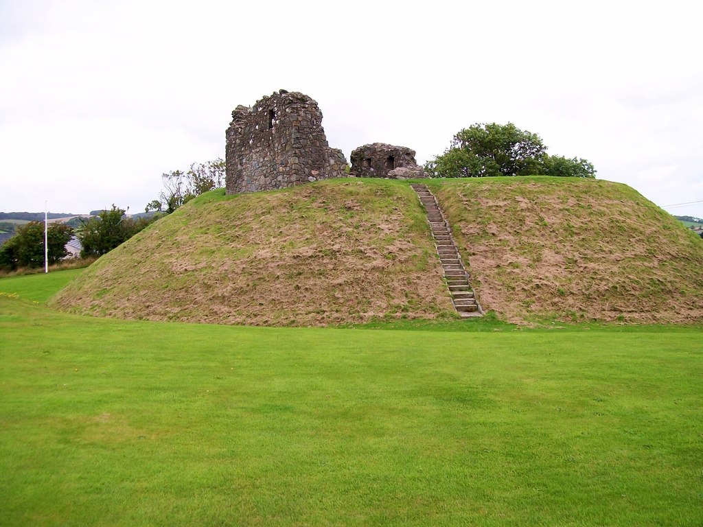
Identified as the castle of Athroynny [or Athronny] which was destroyed by Murtough O'Brien in 1207 (Orpen 1909, 336) Situated on a slightly raised area. A high flat-topped mound (summit diam. c. 22m, base diam. c. 40m, H c. 7m) surrounded by a water filled fosse (Wth c. 4m, D c. 1.4m) partly faced with four courses of limestone walling. The mound and fosse are destroyed at NW and N. A raised flat area (H c. 1.5m) with scattered stone is visible to the S and W of the mound.
The motte was constructed at a crossing on the Glorian River. The New Town of Athronny grew up on the river's east bank south of the motte probably a little to the south of the present town (Feehan 1983, 378). Described by Carrigan as near the village of Ballyroan there is 'a remarkable moat, which ascends to a considerable height, and which has a terraced passage, winding around its sides to the topmost plateau. A deep trench surrounds the raised enclosure, which is planted over with trees. A castle it thought to have been here, as on the margin of a loose vellum manuscript in T.C.D. there is a note in Irish which states, that Conall, son of David O'More, King of Leix re-erected the castle of Dunamase (ie. Cainen Mase) after having taken it from the English; and built the castle of Baile atha in roine-supposed to be a mistake for an Irish rendering of Ballyroan. On the old map of Leix and Ophaly, Ballyrone is marked as also Tolouer, now Tullore' (O'Hanlon and O'Leary 1907, vol. 1, 186). This motte is believed to be a burial mound that has been re-used later when itr was converted into a motte (LA024-006001-) based on local tradition that it was known as 'The King's Grave' (OPW Topographical Site).
The above description is derived from the published 'Archaeological Inventory of County Laois' (Dublin Stationery Office, 1995) compiled by P. David Sweetman, Olive Alcock and Bernie Moran. In certain instances the entries have been revised and updated in the light of recent research.
Date of upload: 17 December 2007
This monument is subject to a preservation order made under the National Monuments Acts 1930 to 2014 (PO no. 190/1952).
This remains an important historical record, but the official description says the monument is no longer visible or has been destroyed.
The monument record does not grant public access. Check the route and ask the landowner before entering private land.