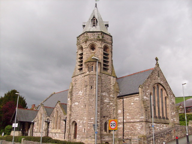
Add your own picture and explain the route, parking, gates, paths or landmarks that help people find it.
Earn 5 points after the picture is checked and accepted.
Add your photo and local directionsShare what you foundWhat is recorded here
In undulating countryside with views to N and E. This church, dedicated to the Blessed Virgin, collapsed in 1835, and only E gable and portion of S wall with doorway survived (Carrigan 1905, vol. 2, 135). Constructed of rubble, the E gable (L c. 6.5m; wall T c. 0.9m) with a blocked-up ope and a short fragment of S wall still stand. Located in centre of graveyard (LA021-010002-). Skirke henge monument (LA021-021001-) and standing stone (LA021-021004-) that was converted into a Motte and Bailey (LA021-021002-) located in adjoining field to S. Carrigan also refers to a cut stone slab, with chamfered edges and an inscription dated 1612, which was reused as a grave-slab (Carrigan 1905, vol. 2, 135). It originally came from the chimney piece of a building known as Skirke Castle. Not located.
The above description is derived from the published 'Archaeological Inventory of County Laois' (Dublin Stationery Office, 1995) compiled by P. David Sweetman, Olive Alcock and Bernie Moran. In certain instances the entries have been revised and updated in the light of recent research.
Date of upload: 17 December 2007
The monument record does not grant public access. Check the route and ask the landowner before entering private land.