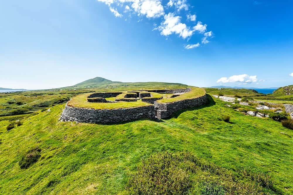
Add your own picture and explain the route, parking, gates, paths or landmarks that help people find it.
Earn 5 points after the picture is checked and accepted.
Add your photo and local directionsShare what you foundWhat is recorded here
Aerial photograph (GB89.AI.34) shows cropmark of a sub-circular enclosure defined by a fosse. Barrett , G.F. (2002-) 'Flights of discovery: archaeological air survey in Ireland, 1989-2000' in The Journal of Irish Archaeology, XI, 2002., pp. 1-30.
The monument record does not grant public access. Check the route and ask the landowner before entering private land.