Add your own picture and explain the route, parking, gates, paths or landmarks that help people find it.
Earn 5 points after the picture is checked and accepted.
Add your photo and local directionsShare what you foundWhat is recorded here
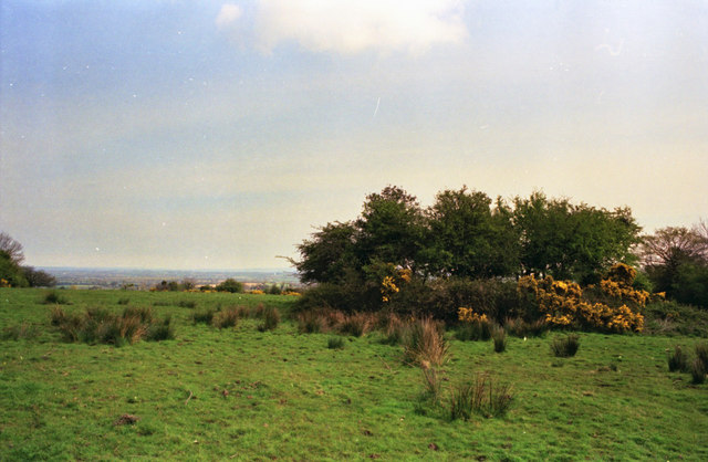
On N-facing slope at the N end of a SW-NE ridge, in rough furzy pasture. The ground to the W and S of the monument is wet and boggy. There are extensive views to from NW-NE. The monument, known locally as ‘the rath’ is overgrown with furze bushes and hawthorn. A raised area (max. diam. 20m; ; diam. at top 15m; H 1.5m) with a slightly dished interior.
See attached:
KK030-003----_01 Sketch plan by Kieran Campbell
Compiled by: Jean Farrelly
Date of upload: 17 July 2023
The monument record does not grant public access. Check the route and ask the landowner before entering private land.