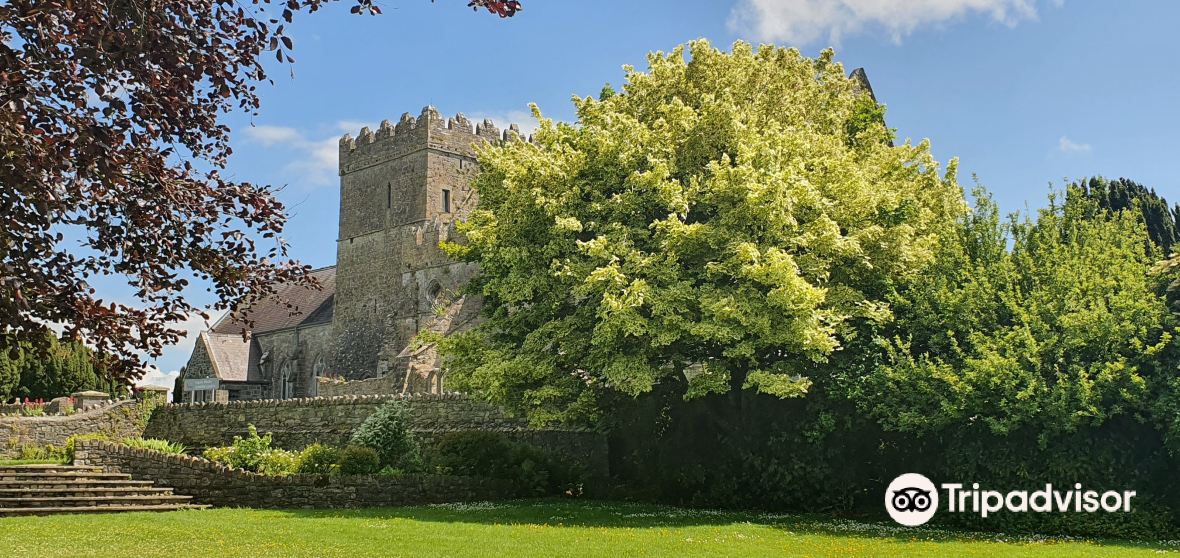
Add your own picture and explain the route, parking, gates, paths or landmarks that help people find it.
Earn 5 points after the picture is checked and accepted.
Add your photo and local directionsShare what you foundWhat is recorded here
On flat ground below a ridge, c. 1.8km SW of the confluence of the River Nore and the Kings River and c. 800m E of the village of Stonyford. A barrow (KK027-035----), where the Roman Stonyford burial (KK027-095----) may have found, is located 15m to the W. Another enclosure (KK027-098----) lies c. 210m to the E and a barrow (KK027-036----) c. 320m to the SE.
A roughly D-shaped enclosure (dims. 32m N-S; 30m E-W), identified as a result of a geophysical survey carried out in 2014 (Rassmann et al. 2019, 353-4; 358-60). The enclosure has two possible entrances, one in the NW which appears to lead to the adjacent barrow, and one in the NE which leads into a slightly curving passageway (L 15m; Wth c. 4m) formed by parallel ditches (ibid. 354). The survey also detected a ring-ditch (KK027-097----) slightly offset within the centre of the enclosure, as well as pit anomalies (ibid.).
The summary of the geophysical report discusses the links between this D-shaped enclosure and similarly shaped ‘banjo’ enclosures, with elaborate entrances, identified through archaeological excavation in southern England and west Wales (ibid. 358). These have produced evidence of occupation, often in the form of internal round houses and storage pits, and have been dated to the Middle and Late Iron Age, c. 400 B.C. to A.D. 43 (ibid.). It was also noted that in Britain banjo enclosures are sometimes found in association with Iron Age barrow cemeteries (ibid.).
Compiled by: Jean Farrelly
The monument record does not grant public access. Check the route and ask the landowner before entering private land.