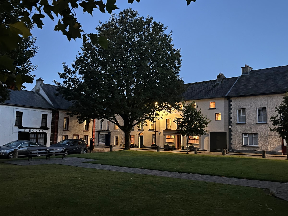
Add your own picture and explain the route, parking, gates, paths or landmarks that help people find it.
Earn 5 points after the picture is checked and accepted.
Add your photo and local directionsShare what you foundWhat is recorded here
Identified as the cropmark of a roughly circular enclosure (diam. c. 35m), defined by a fosse, on an aerial photograph (CUCAP BGH013, 16 July 1971). The N portion of the enclosure is transected by a field boundary running E-W and the cropmark only appears S of this boundary. Much of the central area of the S portion of the enclosure is occupied by a dark soil stain which is indicative of a filled-in depression. This depression is indicated on the 1st (1839) ed. OS 6-inch map as a small roughly circular sand pit (diam. c. 0.15m). A nearby quarry, Kilcarrig Quarry, has gradually extended southward and between 2005 and 2009 it extended S of the enclosure and by 2017 had extended E of the enclosure, leaving the S portion of the enclosure on a peninsula jutting out into the quarry.
See attached:
KK025-012----_01 aerial photograph (CUCAP BGH013, 16 July 1971)
Compiled by: Jean Farrelly
Date of upload: 28 February 2022
The monument record does not grant public access. Check the route and ask the landowner before entering private land.