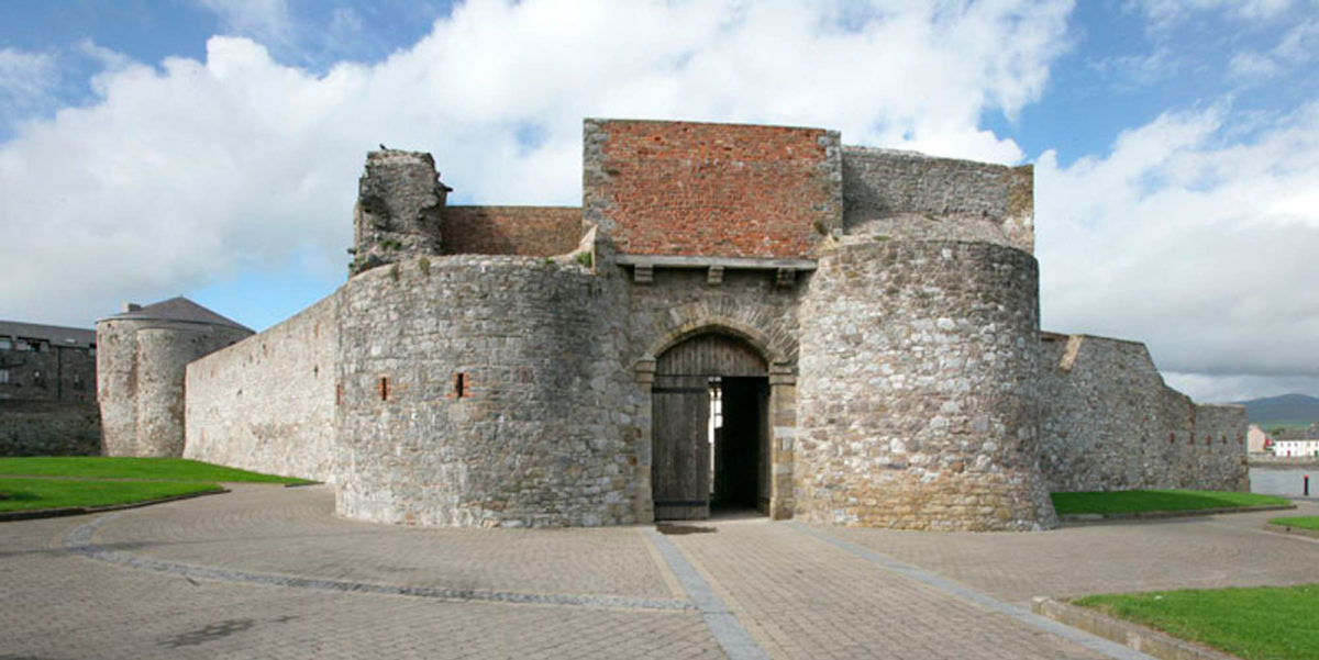
Add your own picture and explain the route, parking, gates, paths or landmarks that help people find it.
Earn 5 points after the picture is checked and accepted.
Add your photo and local directionsShare what you foundWhat is recorded here
At the E end of Dungarvan which was a medieval borough (KK024-068----), S of the main NE-SW road through the village and immediately S of the road to Graiguenamanagh. The medieval church (KK024-068002-) is located c. 50m to the SW. The castle is depicted on the Down Survey (1655-6) barony map of Gowran and on the parish map of dungarvan (Hibernia Regnum, courtesy of Trinity College Dublin). The terrier accompanying the parish map notes, ‘on Dungarvan a Small Castle in repaire’ and the proprietors in 1640 are listed as Peter Shortall, John Archdeacon and Redmond Archdeacon (NLI MS720).
A drawing of the church by Austin Cooper, dated 1799, shows the castle, with the adjacent church (KK024-068004-), on a slightly different alignment, in the background (Manning 1998, 130). The castle appears to be a tower house. It is described by Manning (ibid. 129) as, ‘From the alignment of the church it appears that the entrance front of the tower house, which is in shadow, faced north-east while the other visible side faced north-west. The entrance doorway is shown with a masonry blocking partly removed. This face has a number of loops with a narrow window on the left towards the top. The loops at each side of the north corner might indicate a spiral stairs here. The north-west wall again has a number of loops and a strange projecting feature at about third floor level. This may be a garderobe with a direct outlet. The north-west wall projects well above the others and had a high parapet. This may either be the remnants of a long caphouse on this side as at Ballysheanmore, Gowran, Co. Kilkenny [KK020-061001-] or quite simply the remainder of the top had been demolished’.
It is indicated on the 1st (c. 1840) ed. OS 6-inch map as 'Site of Dungarvan Castle', which suggests that it had been levelled by this date. The castle is not visible above ground level.
See attached:
KK024-068008-_01 extract from Down Survey (1655-6) barony map of ‘Gowran’ (Hib. Reg., courtesy of Trinity College Dublin)
KK024-068008-_02 extract from Down Survey (1655-6) parish map of Dungarvan (Hib. Reg., courtesy of Trinity College Dublin)
KK024-068008-_03 Austin Cooper sketch dated 1799, in Manning 1998, 127-34.
Compiled by: Jean Farrelly
Date of upload: 29 April 2021
The monument record does not grant public access. Check the route and ask the landowner before entering private land.