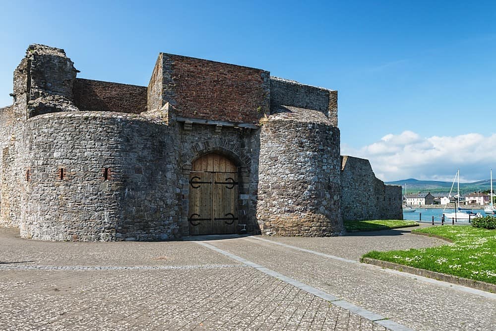
Add your own picture and explain the route, parking, gates, paths or landmarks that help people find it.
Earn 5 points after the picture is checked and accepted.
Add your photo and local directionsShare what you foundWhat is recorded here
Within a relatively small forestry plantation with a long narrow pond (L c. 155m; max. Wth c. 12m) c. 10m to the NE. A townland boundary runs E-W immediately N of the enclosure. Indicated on the 1st (1839) ed. OS 6-inch map as a circular enclosure (diam. c. 48m), though the perimeter from SW-W-NNW is not shown. It is not indicated on the 1899-1902 revision of the OS 6-inch map. Two enclosures (KK024-054---- and KK024-055----) are located c. 130m to the NE.
Compiled by: Jean Farrelly
Date of upload: 29 September 2021
The monument record does not grant public access. Check the route and ask the landowner before entering private land.