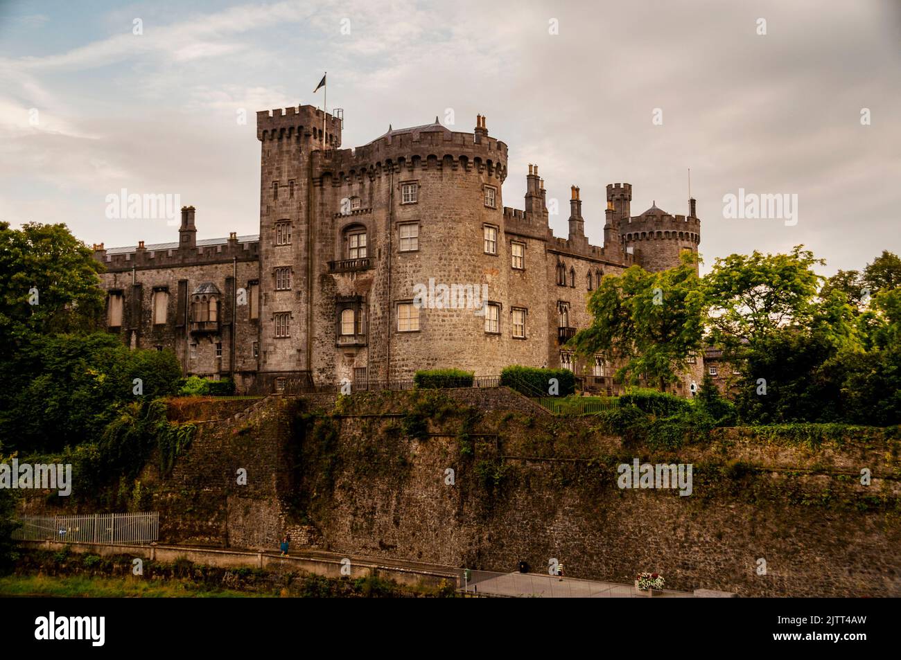
Add your own picture and explain the route, parking, gates, paths or landmarks that help people find it.
Earn 5 points after the picture is checked and accepted.
Add your photo and local directionsShare what you foundWhat is recorded here
Monument identified as a cropmark on aerial photographs (ASIAP (47) 20-27, 2 August 1996). The eastern portion of a circular enclosure (diam. c. 40m) is visible with outer enclosure running concentrically at a distance of c. 15-20m. Possibly a concentric enclosure (overall diam. c. 80m). Much of the western half of the monument is within a farmyard and has been partially built upon.
Compiled by: Jean Farrelly
Date of upload: 25 August 2015
The monument record does not grant public access. Check the route and ask the landowner before entering private land.