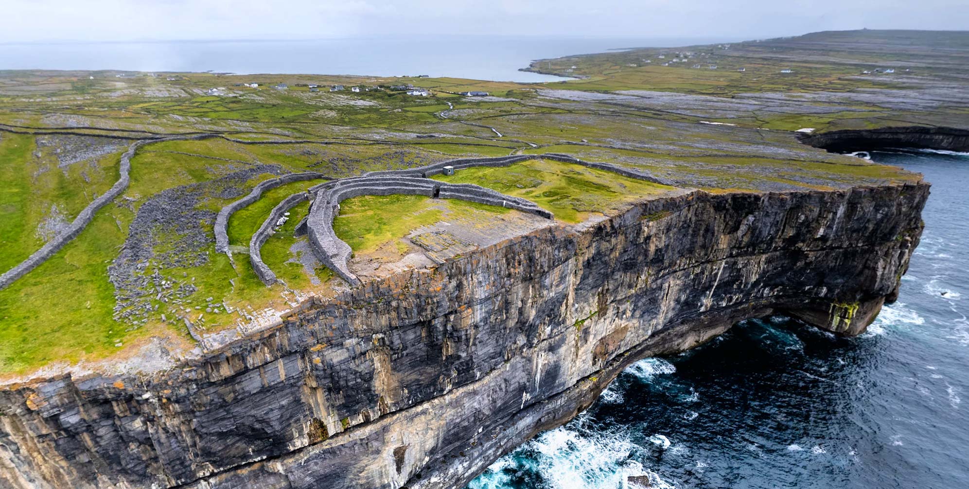
Add your own picture and explain the route, parking, gates, paths or landmarks that help people find it.
Earn 5 points after the picture is checked and accepted.
Add your photo and local directionsShare what you foundWhat is recorded here
On the county boundary between Kilkenny and Carlow and located at the E end of a linear earthwork (KK016-006----; KK016-006001-; KK016-006002-; KK021-006----) known as, ‘Rathduff Trench’ which roughly E-W runs immediately outside the N quadrant. On the 1st (1839) ed. OS 6-inch map only the N portion of the monument (dims. c. 80m NW-SE; c. 35m NE-SW) is indicated as a curving bank in woodland, with the public road to the E, which runs N-S, curving out to respect the monument, though possibly also truncating it slightly. The 1900 revision of the OS map indicates an almost complete enclosure (diam. c. 90m) defined from W-N-S by a bank or scarp, with a gap in the SW sector. It also indicates a large roughly circular (diam. c. 50m) hollow area in the interior.
According to the OS Letters (1839), ‘The Revd. W.K. Boroughs states that two small graves [see cists KK021-008001- and KK021-008002-] were some years ago discovered at this rath about two feet [0.61m] under the surface, beside each other, the one that of a child, the other that of a full grown man. These graves were neatly flagged at the bottom and sides; one was eighteen inches [0.47m] long and fourteen [0.36m] high, the other three feet [0.91m] by eighteen inches [0.47m]. In each was found an earthen vessel of baked clay which was broken by the carelessness of the diggers. The bones were not charred by fire. This is a fine fort and formed one of a chain which seems to have separated two important ancient territories’ (O’Flanagan 1930, vol. 2, 23-4 (9)). According to Feeley (2008, 46) the monument had been quarried into for gravel.
Compiled by: Jean Farrelly
Date of upload: 19 April 2021
The monument record does not grant public access. Check the route and ask the landowner before entering private land.