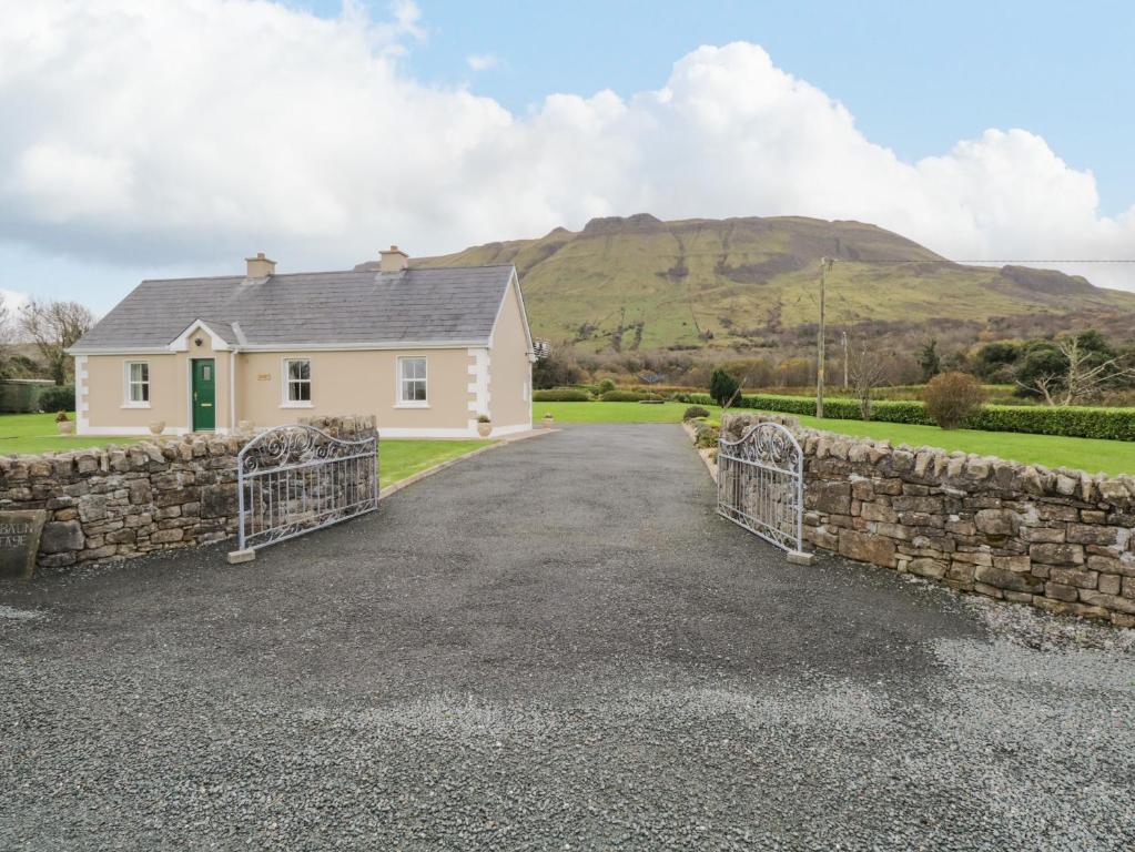
Add your own picture and explain the route, parking, gates, paths or landmarks that help people find it.
Earn 5 points after the picture is checked and accepted.
Add your photo and local directionsShare what you foundWhat is recorded here
In a field immediately NE of the roundabout at the junction of the N77 and the Castlecomer Road, formerly part of a sand and gravel quarry. Indicated on the 1st (1839-40) ed. OS 6-inch map as a circular enclosure (diam. c. 30m) but not shown on the 1945-6 revision which suggests the monument had been levelled by 1946. Satellite imagery (Google Earth, 20 November 2005) indicates that some quarrying took place in the field c. 2005, possibly associated with the works for the construction of the ring road, and that the field has subsequently been left fallow (Google Earth, 17 September 2019). The locational information from the 1st ed. OS 6-inch map appears to have been incorrectly transferred to the RMP (1996) mapping, resulting in the enclosure being indicated c. 50m SW of where it should have been. Archaeological excavations in 2003 verified this (O'Hara and Tooher 2003). A re-evaluation of the excavation report with the rectified locational information taken into consideration reveals that in the vicinity of the SW sector of the enclosure, at the edge of the road-take, a shallow clay-filled pit (diam. 0.4m; D 0.1m) containing very occasional traces of charcoal and cremated bone was found (ibid. 6). The enclosure appears to be located immediately outside the area of the road-take.
Compiled by: Jean Farrelly
Date of upload: 16 September 2020
The monument record does not grant public access. Check the route and ask the landowner before entering private land.