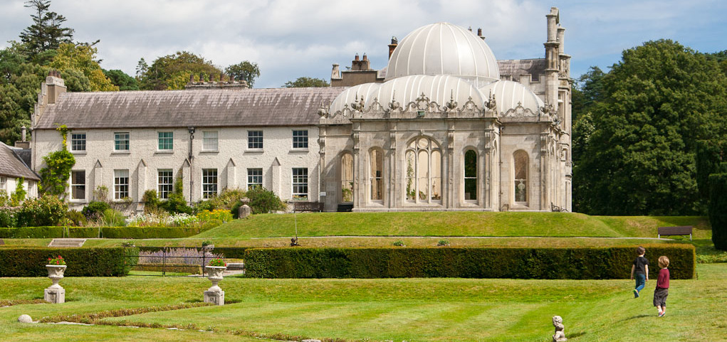
Add your own picture and explain the route, parking, gates, paths or landmarks that help people find it.
Earn 5 points after the picture is checked and accepted.
Add your photo and local directionsShare what you foundWhat is recorded here
On the W crest of a small river valley and E edge of rolling grasslands. There are good views in all directions. There is a church (KK015-024001-) and graveyard (KK015-024002-) immediately to the E. A much denuded polygonal enclosure (dims. N L 28m; E L 52m; S L 55m; NW L 13m), the W side of which is not visible at ground level. It is defined on the N and E side by a shallow scarp (H 0.3-0.4m) and on the S side by a bank (Wth 5m; int. H 0.5m) with a stream running S of, and parallel to, the bank. According to O'Kelly (1969, 83), 'There is a wide, deep trench enclosing a square area of ¼ acre west of the house [Kilderry House] and human bones were unearthed here'. This square area and burials (KK015-042002-) may relate to the polygonal enclosure or to the adjacent graveyard.
Compiled by: Jean Farrelly
Date of upload: 15 March 2016
The monument record does not grant public access. Check the route and ask the landowner before entering private land.