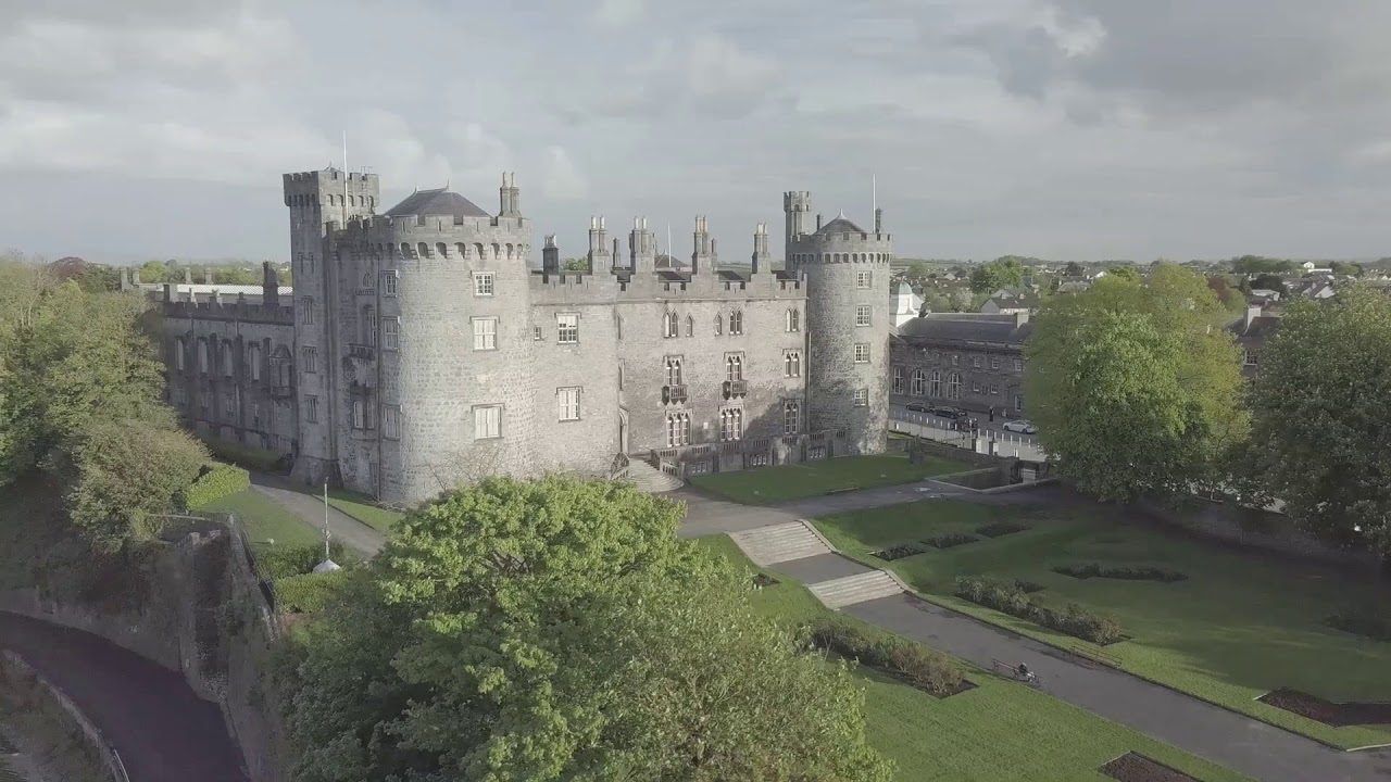
Add your own picture and explain the route, parking, gates, paths or landmarks that help people find it.
Earn 5 points after the picture is checked and accepted.
Add your photo and local directionsShare what you foundWhat is recorded here
On a slight E-W ridge on the E bank of the Arigna river, where the river enters Nuenna river valley, in pasture. Land rises steeply to E, otherwise there are good views across both valleys of opposing highlands. According to Carrigan (1905, vol. 2, 264), 'about 300 yards north of the church [KK013-05101-], and on the same side of the Arganny river, the site of a demolished castle is still pointed out in the "caste field". It is indicated on the 1900 edition of the OS 6-inch map as a mound (dims. c. 30m N-S; c. 26m E-W) which tapers off to the S, the scarp on the W side of the mound continues southward for a further c. 30m and there is also scarp (L c. 22m) indicated N of the mound, falling towards the river. The land has been reclaimed and the castle and mound are not visible at ground level.
Compiled by: Jean Farrelly
Date of upload: 21 December 2016
The monument record does not grant public access. Check the route and ask the landowner before entering private land.