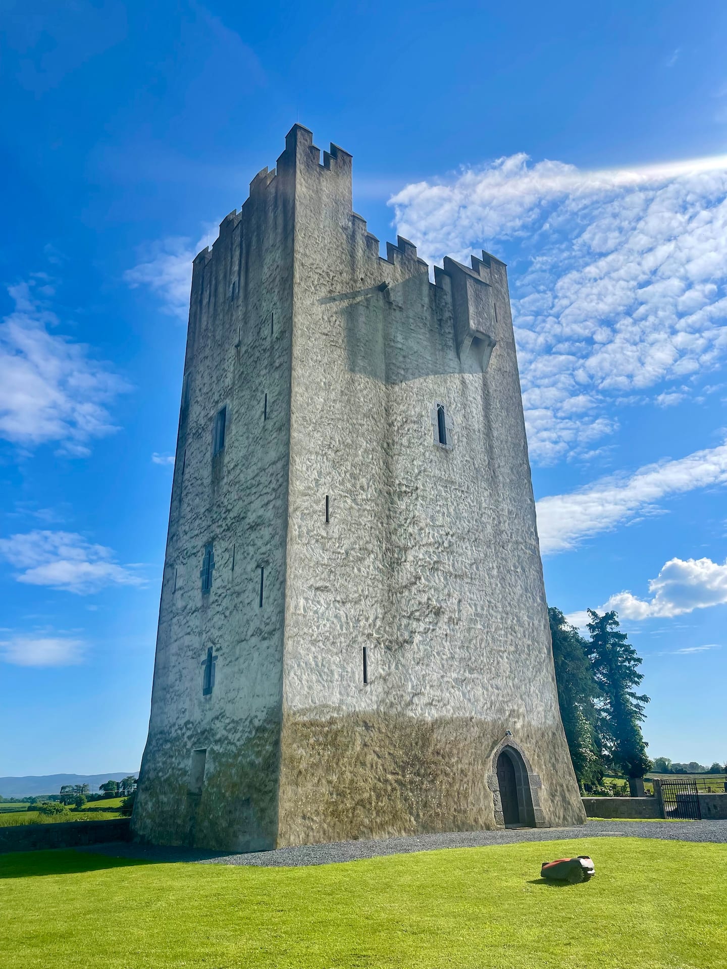
Add your own picture and explain the route, parking, gates, paths or landmarks that help people find it.
Earn 5 points after the picture is checked and accepted.
Add your photo and local directionsShare what you foundWhat is recorded here
A possible rectilinear enclosure with slightly rounded corners (dims. c. 30m) is visible as a cropmark on aerial photograph (CUCAP BGN093, 19 July 1971). The N side is quite faint and may not be a fosse. The W side appears to extend northward beyond the possible enclosure. It may be that these cropmarks are of old field boundaries and other natural features which are giving the appearance of an enclosure. It is not visible at ground level.
See attached photograph:
KK012-025005-_01 CUCAP BGN093, 19 July 1971
Compiled by: Jean Farrelly
Date of upload: 29 May 2019
The monument record does not grant public access. Check the route and ask the landowner before entering private land.