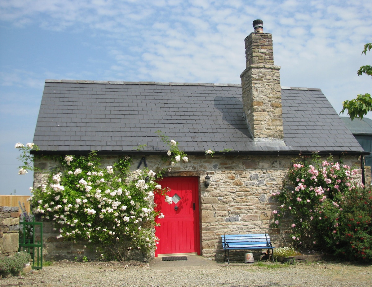
Add your own picture and explain the route, parking, gates, paths or landmarks that help people find it.
Earn 5 points after the picture is checked and accepted.
Add your photo and local directionsShare what you foundWhat is recorded here
A circular area (int. diam. c. 50m; overall diam. c. 85m) enclosed by a bank, wide fosse (Wth c. 6-8m) and outer bank showing as a cropmark on aerial photographs (CUCAP BGN095, 19 July 1971; GB89.Z.10, 15 July 1989). It is not visible at ground level but is visible on Digitalglobe satellite imagery (viewed 29 May 2019).
Compiled by: Jean Farrelly
Date of upload: 29 May 2019
The monument record does not grant public access. Check the route and ask the landowner before entering private land.