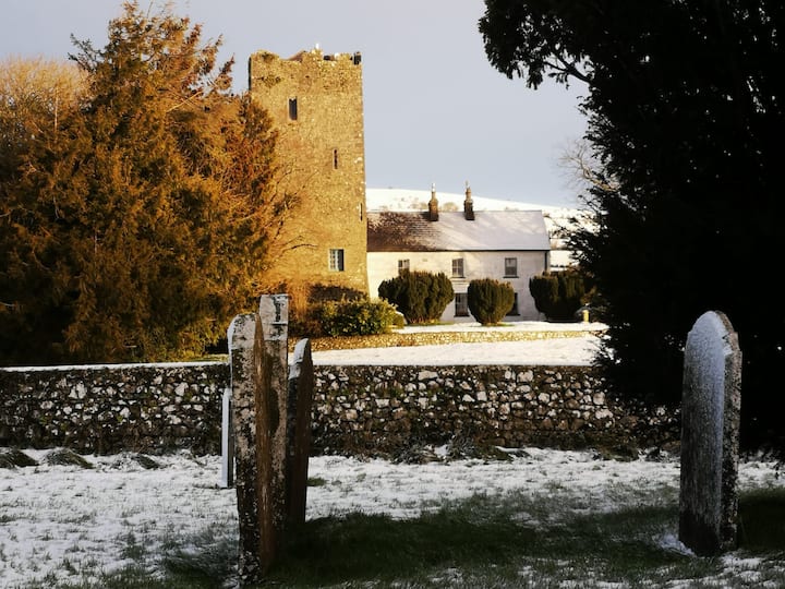
Add your own picture and explain the route, parking, gates, paths or landmarks that help people find it.
Earn 5 points after the picture is checked and accepted.
Add your photo and local directionsShare what you foundWhat is recorded here
This record was listed as 'Enclosure' in the SMR (1987). On the 1st (1839) ed. OS 6-inch map it is indicated as a hachured roughly circular enclosure (diam. c. 39m). The revised 1900 ed. only shows the curving W side, with hachures facing inward indicating a depression and rock outcrop is indicated within the area of the enclosure. On field inspection in 1987 this was found to be a quarry, however, its depiction on the 1st ed. map and the fact that the W curve of the enclosure was retained, suggests that this may have been a ringfort but that it was completely quarried out. Satellite imagery (Digitalglobe viewed 28 May 2019) suggests that the quarry has since been infilled and is now under grass.
Compiled by: Jean Farrelly
Date of revised upload: 28 May 2019
The monument record does not grant public access. Check the route and ask the landowner before entering private land.