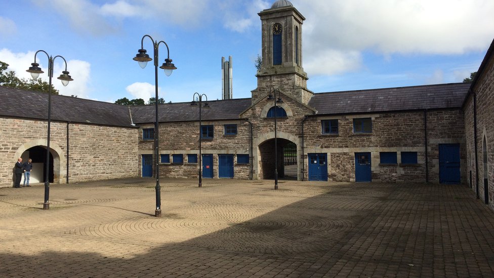
Add your own picture and explain the route, parking, gates, paths or landmarks that help people find it.
Earn 5 points after the picture is checked and accepted.
Add your photo and local directionsShare what you foundWhat is recorded here
On the crest of a small hill in Urlingford lowlands (Barry 1977, 192). Barry (ibid.) describes this monument and an adjoining enclosure (KK012-002001-) to the S as a, 'Double platform site. Northern one 792m2; southern one 325m2. Int. banks. Very degraded site and totally overgrown'. It is indicated on the 25-inch OS map as a rectangular enclosure (dims. c. 31m NW-SE; c. 25m NE-SW) with rounded angles. It appears to share a fosse (Wth c. 2m) with the adjoining enclosure to the S which is slightly larger and aligned ENE-WSW.
Compiled by: Jean Farrelly
Date of upload: 14 May 2019
The monument record does not grant public access. Check the route and ask the landowner before entering private land.