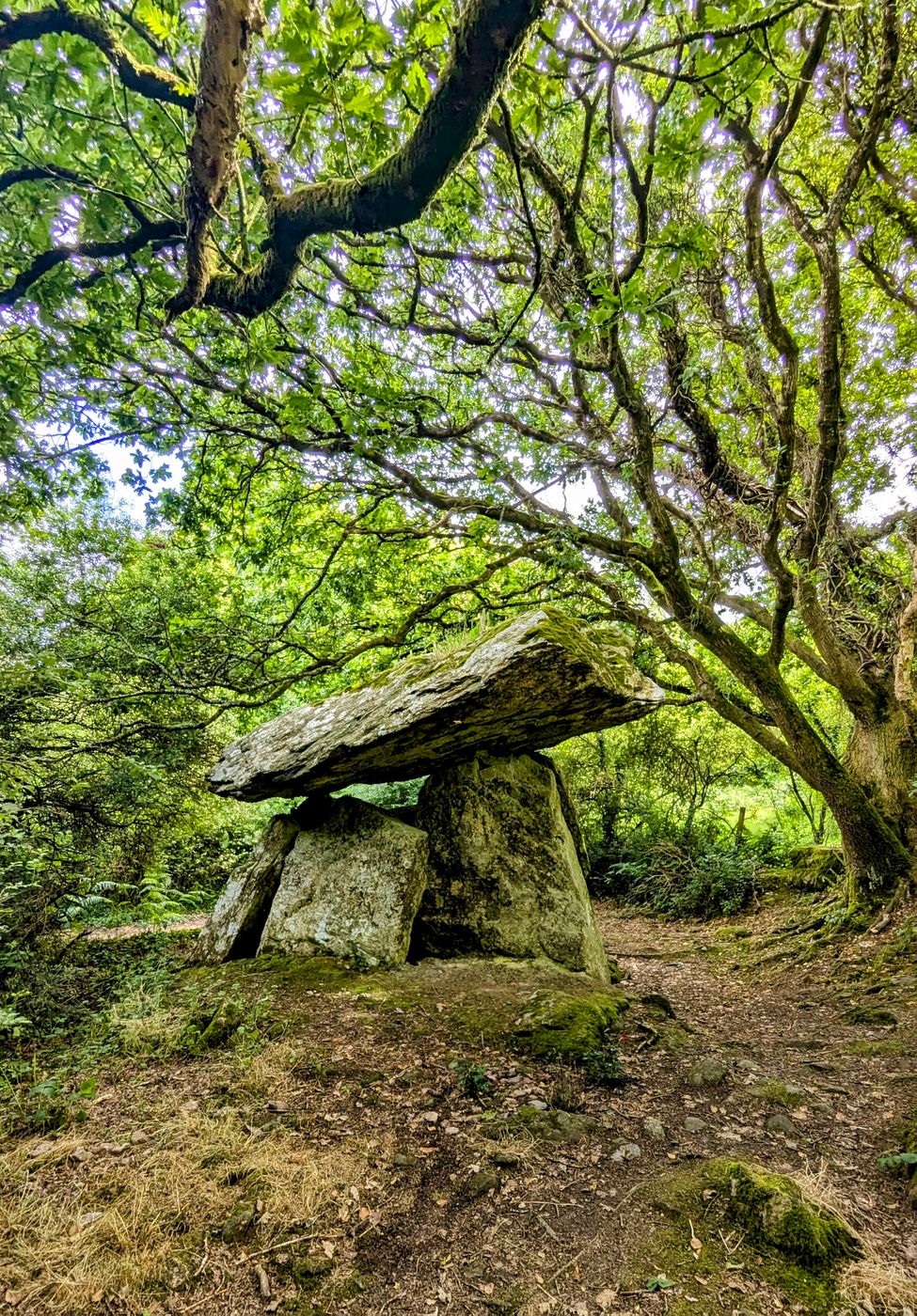
Add your own picture and explain the route, parking, gates, paths or landmarks that help people find it.
Earn 5 points after the picture is checked and accepted.
Add your photo and local directionsShare what you foundWhat is recorded here
On a bluff on the W side of a small valley in gently rolling grassland. There are good views in all directions. Indicated on the 25-inch OS map as a circular enclosure (diam. c. 36m). The monument has been badly damaged by quarrying. Traces of the enclosing bank survive in the N (L 26m E-W; Wth at crest 2m; overall Wth 4.5m; H 1m) and W sectors (L 5m; Wth at crest 2m; overall Wth 4.5m; H c. 1.8m). The surviving banks suggest that this enclosure was more rectilinear than the OS indicates. On Digitalglobe satellite imagery (viewed 30 January 2019) a large portion of the interior, particularly the SW quadrant, appears to have been quarried out. The rest of the enclosure would appear to be intact, though it is obscured by scrub.
Compiled by: Jean Farrelly
Date of upload: 30 January 2019
The monument record does not grant public access. Check the route and ask the landowner before entering private land.