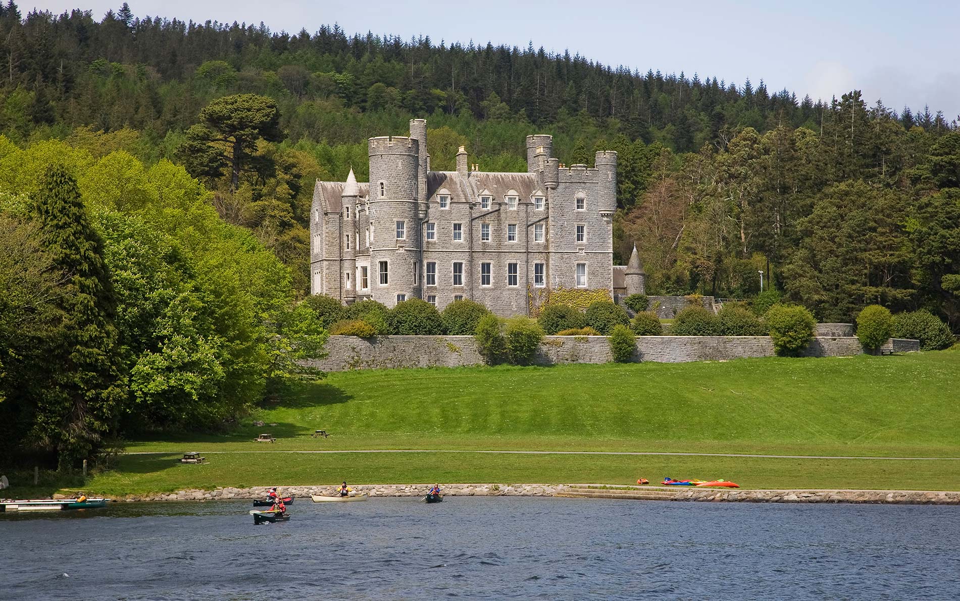
Add your own picture and explain the route, parking, gates, paths or landmarks that help people find it.
Earn 5 points after the picture is checked and accepted.
Add your photo and local directionsShare what you foundWhat is recorded here
At the S end of a small N-S ridge on the floor of the Nore river valley, in rolling grassland. There are good views in all directions, though partly blocked to the E by a higher ridge. The castle is indicated on the Down Survey 'Parrish map of Mayne' (1655-6) in the northern portion of the townland and described in the accompanying terrier as, 'a little Castle in repaire at Tulleglasse', with the proprietor listed as 'Peter Shee Ir[ish] pap[ist]'.
The remains consist of an oval mound (max. dims. L 23m N-S; W 17m E-W at NW end, W 5m at SE end) which was largely demolished in the mid-1980s. The surviving mound, much overgrown, is entirely covered by loose stones. Two short sections of low roughly coursed wall of undressed stone remain, one in the NW (L c. 1.5m running N-S) and one in the NE (L 2m running E-W).
Compiled by: Jean Farrelly
Date of revised upload: 14 January 2019
The monument record does not grant public access. Check the route and ask the landowner before entering private land.