Add your own picture and explain the route, parking, gates, paths or landmarks that help people find it.
Earn 5 points after the picture is checked and accepted.
Add your photo and local directionsShare what you foundWhat is recorded here
Indicated on the 1st (1839) ed. OS 6-inch map as a sub-rectangular raised area (dims. c. 75m N-S; c. 60m E-W) defined by a bank or scarp. A stream, flowing SE-NW, meets the SE angle of this raised area before turning southward.
On a Longfield estate map (title, author, date), identified and reported by Jean-Charles Caillère, there is a circular representation of a ‘fort’ (diam. c. 25m) indicated on a hachured hillock, within the raised area depicted on the 1st ed. map. The Longfield map also shows a curving kink in the field W of the fort, which corresponds with the NW angle of the raised area on the 1st ed. map and indicates a curvilinear area, defined by hachures, extending from the field boundary immediately E of the fort, which suggests that the sub-rectangular raised area may originally have extended further E, giving a NW-SE diam. of c. 90m.
On the 1900 revision of the 6-inch OS map the N and W sides of the sub-rectangular raised area are not depicted, which suggest they had been levelled, and the E and S sides are shown as field boundaries, as is the boundary of most of the curvilinear to the E. On this revision a gravel pit is indicated within the raised area, with a trackway indicated running to the gravel pit from the N.
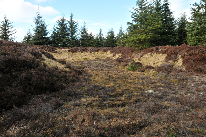
Following a visit by the ASI in 1987 the enclosure was reclassified as a quarry. However, a re-evaluation of the cartographic evidence, including the Longfield estate map, suggests that, though levelled, there is a larger enclosure at this location and that a smaller ‘fort’ within this larger enclosure was subsequently quarried out.
Compiled by: Jean Farrelly
The monument record does not grant public access. Check the route and ask the landowner before entering private land.