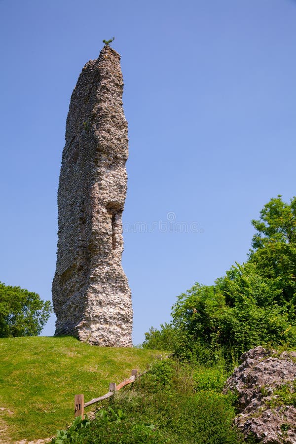
Add your own picture and explain the route, parking, gates, paths or landmarks that help people find it.
Earn 5 points after the picture is checked and accepted.
Add your photo and local directionsShare what you foundWhat is recorded here
On a gentle SW-facing slope in gently undulating terrain at the foot of Spahill, in pasture. There are good to extensive views in all directions, except to E which is dominated by Spahill. The monument is quite heavily overgrown with scrub, particularly on the raised interior and in the SW sector of the berm. A slightly oval raised area (int. diam. c. 34m N-S; c. 30m E-W) enclosed by a low earthen bank/scarp (Wth 3m; H 1.85m), berm or bailey (Wth 7m - 14m) and outer bank (int. H 0.37m; ext. H 0.9m; Wth at crest 0.9m; overall Wth 2.5m). Around the base of the mound the berm has a scooped appearance, like a wide, shallow fosse (Wth 7.3-7.7m; D 1.2m), which possibly provided material for the raised mound. There is some evidence of an outer fosse (Wth 9m; D 0.31m) in the N and E quadrants, though this is very wide and shallow and in may be the result of later activity. There is an irregular mound in the SSW quadrant on the outer edge of the berm and footings of a structure immediately E of this, both appear to be late intrusions. The interior is level except for the footings of a rectangular structure (L 7m; Wth 3.5m) with rounded corners, aligned roughly NW-SE, situated in the NW quadrant. A souterrain (KK008-119002-) is indicated on the 1st (1839) ed. 6-inch OS map, and the 1900 revision, in the NW quadrant. The presence of a souterrain suggests that this monument was a ringfort. However, it appears to have been modified significantly to form a ringwork-type monument with surrounding bailey.
Compiled by: Jean Farrelly
Date of revised upload: 3 September 2018
The monument record does not grant public access. Check the route and ask the landowner before entering private land.