Add your own picture and explain the route, parking, gates, paths or landmarks that help people find it.
Earn 5 points after the picture is checked and accepted.
Add your photo and local directionsShare what you foundWhat is recorded here
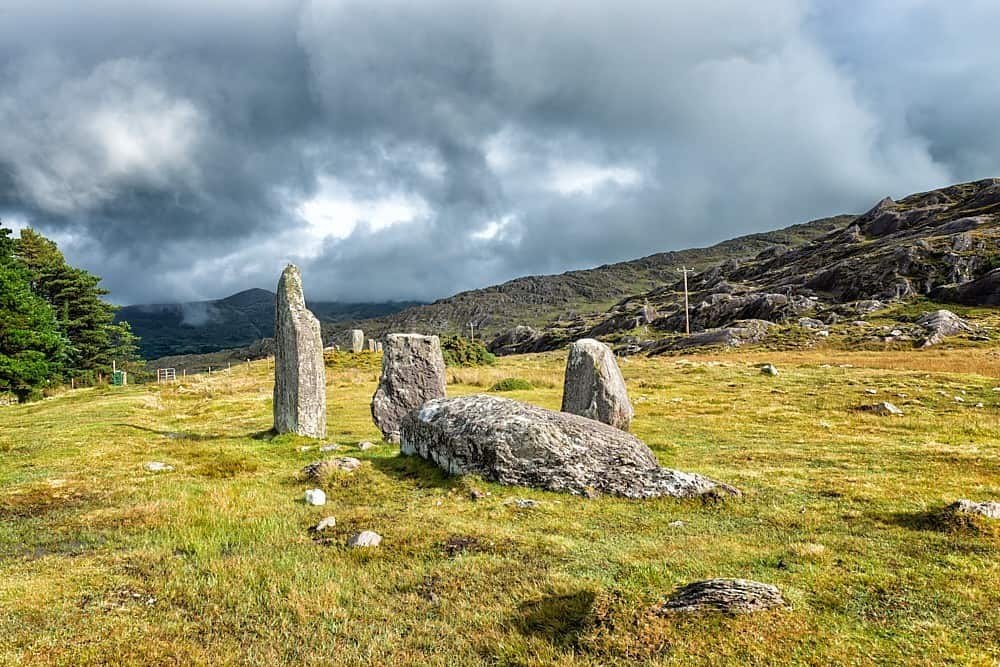
In rough hill pasture, on a terrace of the lower NE-facing slopes of Knocknaveacal. Two stretches of relict field walls are situated to the N and S of a medieval road (KE108-013007-) which ran from Kenmare to Castletownbere. The linear stretch of field wall (T c. 0.6m) to the N of the road extends (L c. 30m) to the N. At its S end, this wall is at a distance of c. 18m NW of a multiple-stone circle (KE108-013001-). Further E and to the S of the medieval road, the second linear stretch of field wall (T 0.6m) extends (L c. 48m) to the S. Mid-way along this stretch another wall (L c. 17m) branches off to the SE towards a stone alignment (KE108-013002-). These latter walls are to the W and S of a five-stone circle (KE108-013004-) and the stone alignment. Both stretches of the relict field walls protrude (H 0.1-0.3m) above the blanket bog. A 14m length of field boundary was excavated, just S of the alignment (Lynch 1981, 67). No direct evidence for dating was recovered but, the excavator tentatively suggests that at least some of the segments belong to the cultivation phase(s) which predate the construction of the alignment and circle (ibid.). A third stretch of walling was recorded in the early 1980's by Lynch (1981, 64, Fig. 7). It consisted of a curving wall c. 180m long and was located c. 30m to the N of the five stone circle (KE108-013004-). This area is now covered by forestry. There is another field boundary (KE108-013006-) further E and to the S of the medieval road.
The above description is derived from the published 'Archaeological Inventory of County Kerry. Volume I: South-West Kerry' (Dublin: Stationery Office, 2009). In certain instances the entries have been revised and updated in the light of recent research.
Date of upload: 30 May 2011
The monument record does not grant public access. Check the route and ask the landowner before entering private land.