Add your own picture and explain the route, parking, gates, paths or landmarks that help people find it.
Earn 5 points after the picture is checked and accepted.
Add your photo and local directionsShare what you foundWhat is recorded here
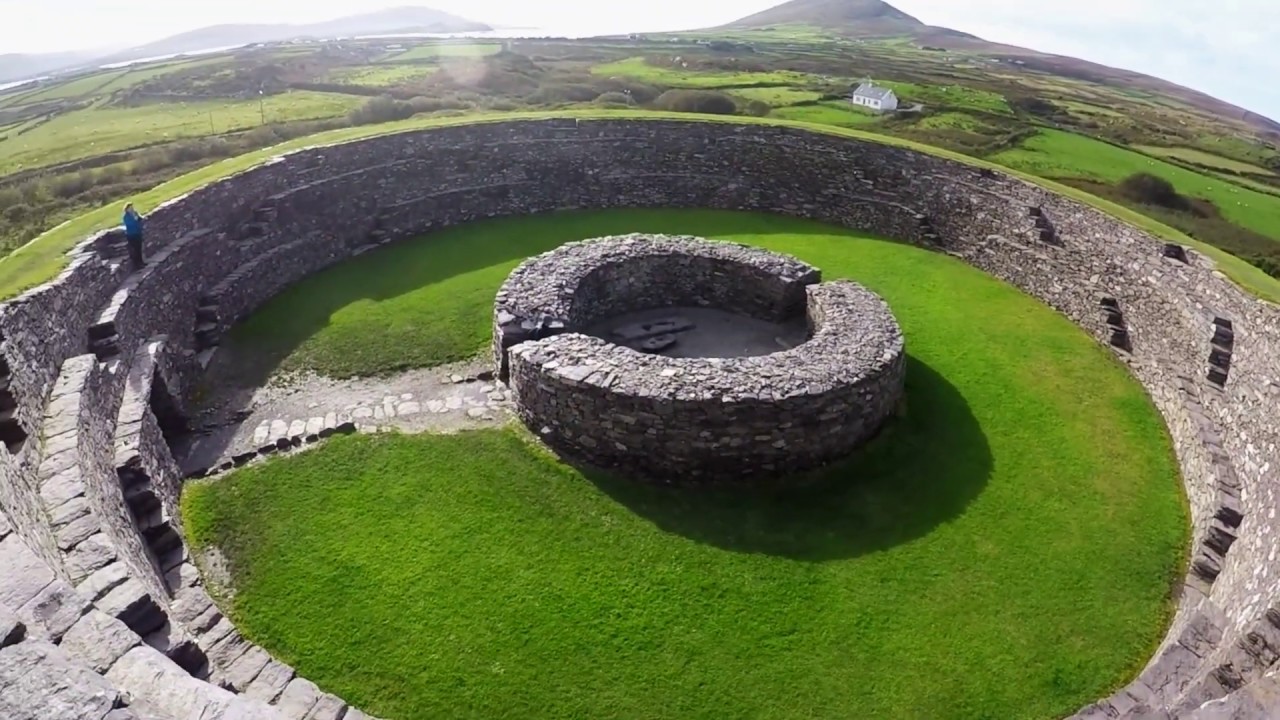
Located on the lower NE spur of Knockstooka, overlooking Ballinskelligs Bay at NW, are the very disturbed remains of a caher and souterrain. The site, not marked on the OS maps, is bisected by a N-S field wall from which a second wall runs at right angles to W. The remains of a relatively modern stone-built house occupy a portion of the site's NW quadrant. The enclosing wall can be traced from N to E, where it survives only one to two courses high and measures 3m wide. Externally it is faced with large slabs. A prominent entrance, 1.2m wide, is located at E and is marked at its four angles by small pillar-like slabs which average .77m high, .48m wide and .3m thick. The sides of the 3m long entrance passage are faced with coursed drystone masonry.
An opening to a stone-built souterrain (KE106-115001-) passage is located just inside the enclosing element of the caher in its N sector. The passage is aligned N-S and is at least 4.5m long. Its sides are formed by upright slabs overlain with drystone masonry, and it is roofed with lintels. There is an accumulation of stone and earthen fill, including a collapsed lintel, along the passage, both ends of which are blocked with collapse. The passage averages 1.2m wide and is up to 1.3m high.
The above description is derived from A. O'Sullivan and J. Sheehan (compilers), 'The Iveragh peninsula: an archaeological survey of South Kerry'. Cork University Press (1996), no. 614. In certain instances the entries have been revised and updated in the light of recent research.
Date of upload: 29 July 2013
The monument record does not grant public access. Check the route and ask the landowner before entering private land.