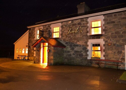
Add your own picture and explain the route, parking, gates, paths or landmarks that help people find it.
Earn 5 points after the picture is checked and accepted.
Add your photo and local directionsShare what you foundWhat is recorded here
Rectangular area (dims. 5m E-W; 2.2m N-S) defined by drystone wall (Wth 0.5m; H 1m) E->N->W and natural rock outcrop (H 2.5m) forming S side. Entrance (Wth 0.75m) in W-wall; Upright timber post in entrance and possibly rebuilt and reused as a sheep fold.
See attached photograph courtesy John Cronin.
Compiled by: Caimin O'Brien based on details provided by John Cronin
Date of upload: 8 April 2022
The monument record does not grant public access. Check the route and ask the landowner before entering private land.