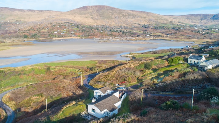
Add your own picture and explain the route, parking, gates, paths or landmarks that help people find it.
Earn 5 points after the picture is checked and accepted.
Add your photo and local directionsShare what you foundWhat is recorded here
Hut and associated souterrain (KE091-097001-) located on a terrace on the lower SW slopes of Knocklomena, a short distance E of the Kealduff river. The square hut, measuring 4.5m internally, is defined by a low bank of earth and stone which measures .5m high and 1m wide. It is open on its SE side, where a field-wall skirts the site.
An opening to the souterrain occurs on the exterior of the hut at SW close to a large boulder which partly overlies the first chamber. Earth-cut, this is subcircular in plan and measures 2.35m in diameter and 1.15m high. An area of drystone facing occurs on its NW side, and this may represent a blocking of the point from where the chamber was tunnelled from an adjoining construction shaft. A 1m long passage at NE, drystone constructed, may be the original entrance passage; it is largely filled with collapse. Opposite, at SE, is an earth-cut creepway .65m high x .55m wide, which leads into a second earth-cut chamber aligned WNW-ESE. Several large slabs revet its lower wall-face and the remains of a ventilation shaft are located at N. This chamber is 3.1m long, 1.2m high and has a maximum width of 2m at its ESE end. A creep-way, .6m x .5m, in its S wall, leads into a third earth-cut chamber, 3.1m long, which is aligned NE-SW; it averages 1.4m wide and 1m high. An accumulation of fill prevents access beyond this point.
The above description is derived from A. O'Sullivan and J. Sheehan (compilers), 'The Iveragh peninsula: an archaeological survey of South Kerry'. Cork University Press (1996), no. 1278. In certain instances the entries have been revised and updated in the light of recent research.
Date of upload: 1 August 2013
The monument record does not grant public access. Check the route and ask the landowner before entering private land.