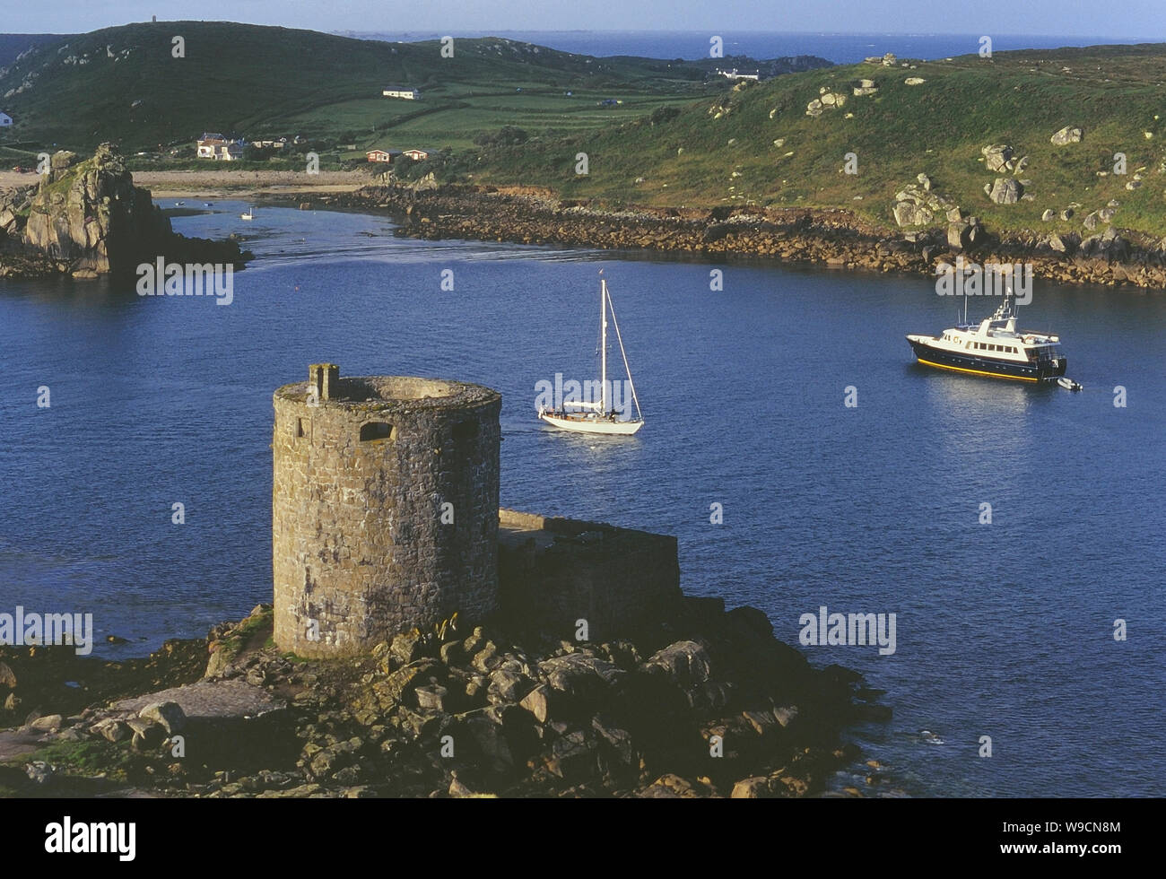
Add your own picture and explain the route, parking, gates, paths or landmarks that help people find it.
Earn 5 points after the picture is checked and accepted.
Add your photo and local directionsShare what you foundWhat is recorded here
Cromwell's Fort: This defended promontory is located close to the SW end of Valencia Island, between Foilhomurrum Bay and the narrowest point of Portmagee Sound – the S entrance into Valencia Harbour. It comprises the poorly preserved remains of a blockhouse located at the forward tip of a cliff promontory, known as Sculgaphort, and is defended by a fosse and a large ravelin at its landward side. Westropp suggested that an earlier promontory fort (KE087-034001-) occurred at this location (1912, 306).
A seventeenth-century TCD manuscript records that Cromwellian forces built two forts on Valencia Island in 1653 (Pochin Mould 1978, 48-9). The second example is that at Fort Point, Glanleam (KE079-055001-). A 'Fort' is depicted at Coarha Beg on the Down Survey map of 1655, while in the Book of Survey and Distribution it is stated that 'there stands ... a ffort at the south point of Corrabeg, which is security for the Harbour of Valencia' (Westropp 1912, 289). There are several references to both of the Valencia forts in the State Papers during the 1660s, before their disestablishment in 1669 (Gowen 1979, 264; Pochin Mould 1978, 48-50). In 1659 the State compiled a list of garrisons 'which are thought to be fit to be constantly kept if any invasion should be made into Ireland by a foreign enemy', the list suggested that a garrison of 60 men should be kept in the forts at 'Valentia and Dingle' (Cal. S.P. Ire., vol.18, 687). In 1666 the Earl of Orrery wrote to the Lord Lieutenant that 'Valentia has not one hour's victuals, nor one perck [?peck] of salt in it, nor one piece of ordnance on sound carriages' (Cal. S.P. Ire., vol. 21, 91-2). In 1669 the state papers recorded that 'the gunner at Valentia (which is now demolished) be taken off' (Cal. S.P. Ire., vol. 21, 780).
The main features of the landward defences of the site are a fosse and a large triangular ravelin defined by a fosse and external bank. This bank stands to a maximum height of 2.4m, averages 3m in basal width, and terminates at both ends at the main fosse behind the ravelin. The fosse between the bank and the ravelin is up to 3.5m wide and averages 2m deep. The ravelin is 19m x 18m in overall basal dimensions and up to 3.4m high. The fosse which cuts off the promontory behind it is steep-sided and partially rock-cut. It averages 5m wide and reaches a maximum depth of 3.5m. At the inner edge of the fosse is a low bank, 3m wide, on which stood a mortar-built stone wall, the most substantial remains of which survive at the SE angle. This portion stands 3m high and is 1.2m thick.
Traces of an earth and stone bank, up to 3m wide, supported in places by a terraced revetment at S, survive along the sides of the promontory. The interior of the fort is badly disturbed, and an irregular mound in its centre, 1m high, is likely to be due to this disturbance. No apparent traces remain of the two 'sites of late houses or barracks' noted here by Westropp (1912, 306). Very little of the blockhouse is preserved, the corner of a building on the NW end of the promontory being all that remains. Obscured by rubble, this roughly built wall averages 0.8m thick and stands to a maximum height of 1.7m. Its SW facing wall is 6.65m long and is pierced by a small musket loop which measures 0.38m x 0.16m internally.
According to Westropp; 'It is on a steep-sided headland ending in the tidal reef of Sculgaphort (port cliff), evidently bearing an older name of the headland. It has a late outwork [KE087-034----], a nearly equilateral triangle of fosses 9 feet wide, 6 feet deep, and each about 63 feet long. These rest on the base of the older fosse 6 feet to 10 feet deep, 12 feet wide below, and cut deeply into the rock. A gangway crosses it, but to none of the later entrances : doubtless to the gate of the dún. The name Cromwell as in eastern Limerick and elsewhere, may have originally referred to a "sloping wood," Crom-choill, as the map made by Baptist Boazio, in the reign of Elizabeth, about 1590, marks "Cromcoel," near the fort' (Westropp 1912, 305-6). Outline of polygonal-shaped enclosure defending a central tower at 'Crompeol' is depicted on 1598 map of the Island of Dariry (Dairbhre\Valentia) (Clancarthy Survey) (Murphy 2013;https://images.lambethpalacelibrary.org.uk/luna/servlet/workspace/handleMediaPlayer?lunaMediaId=LPLIBLPL~17~17~180668~132861)
See attached plan of fortification taken from O'Sullivan and Sheehan 1996, Fig. 248, 421 and 1654-56 Down Survey map of Iveragh Barony (Hib. Reg.) courtesy National Library of Ireland.
The above description is derived from A. O'Sullivan and J. Sheehan (compilers), 'The Iveragh peninsula: an archaeological survey of South Kerry'. Cork University Press (1996), no. 1453. In certain instances the entries have been revised and updated in the light of recent research.
Revised by: Caimin O'Brien
Date of revised upload: 28 March 2022
The monument record does not grant public access. Check the route and ask the landowner before entering private land.