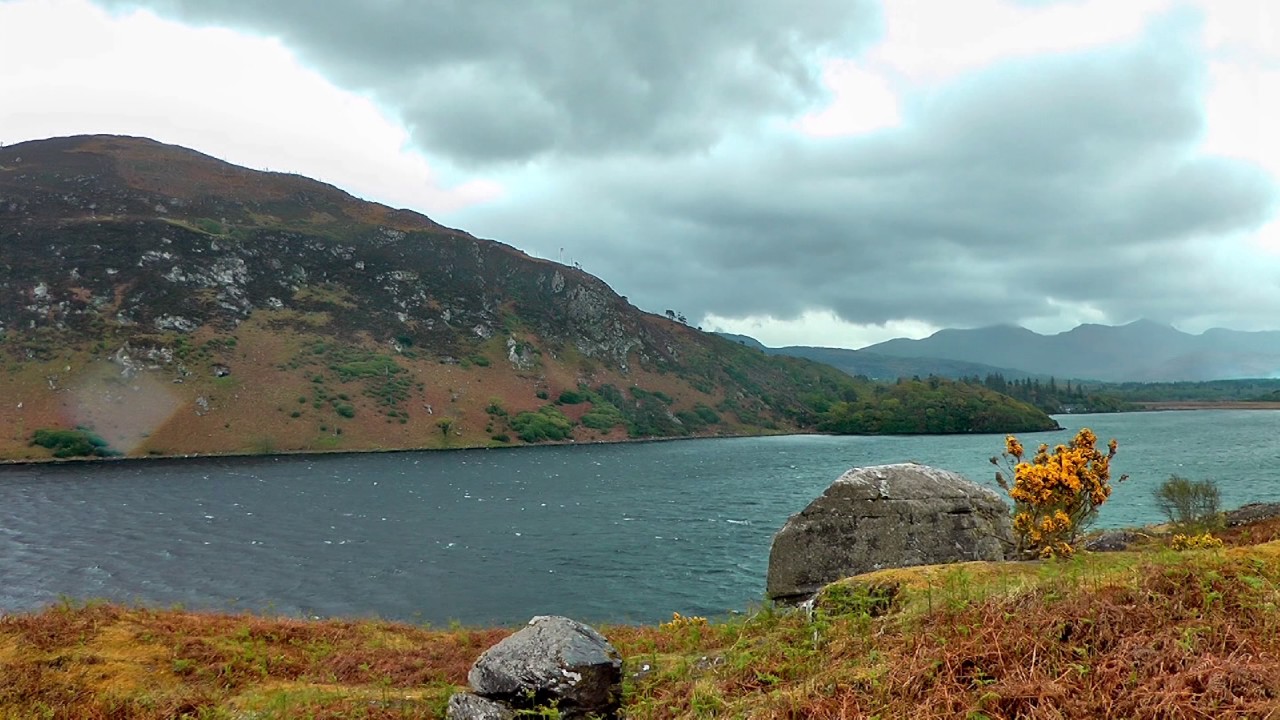
Add your own picture and explain the route, parking, gates, paths or landmarks that help people find it.
Earn 5 points after the picture is checked and accepted.
Add your photo and local directionsShare what you foundWhat is recorded here
Killogrone Burial Ground/Cill Ó gCróin: Situated in poorly drained land on the E side of the spur which joins Foilclogh and Bentee mountains, this site is located in a clearing in a forestry plantation. It consists of a large, suboval enclosure which contains two leachta, on one of which stands a cross-incised ogham stone and, formerly, a cross-slab, seven drystone buildings, one of which may be an oratory (KE080-046009-), and a burial area. A short distance outside the enclosure are the remains of a possible horizontal mill. The enclosing element is poorly preserved and largely survives as a band of stone collapse which averages 1.5m wide and lm high. Some external facing of large boulders is preserved, particularly at NE. The enclosed area measures 40m N-S x 52m E-W. It is not clear if the 2.8m wide gap at E, where the enclosing wall turns inwards on either side, represents the original entrance. The SE quadrant is separated from the remainder of the enclosure by a poorly preserved wall, the NE portion of which features a number of upright slabs set end-to-end. This section appears to be overlain by the main enclosure wall at its SE end. A modern NE-SW trackway divides the enclosure, and all features, with the exception of buildings (KE080-046012-) and (KE080-046013-), are located to E of this.
The above description is derived from O'Sullivan, A. and Sheehan, J. (compilers) 'The Iveragh peninsula: an archaeological survey of South Kerry'. Cork University press. (1996), no. 959. In certain instances the entries have been revised and updated in the light of recent research.
Date of upload: 13 June 2013
The monument record does not grant public access. Check the route and ask the landowner before entering private land.