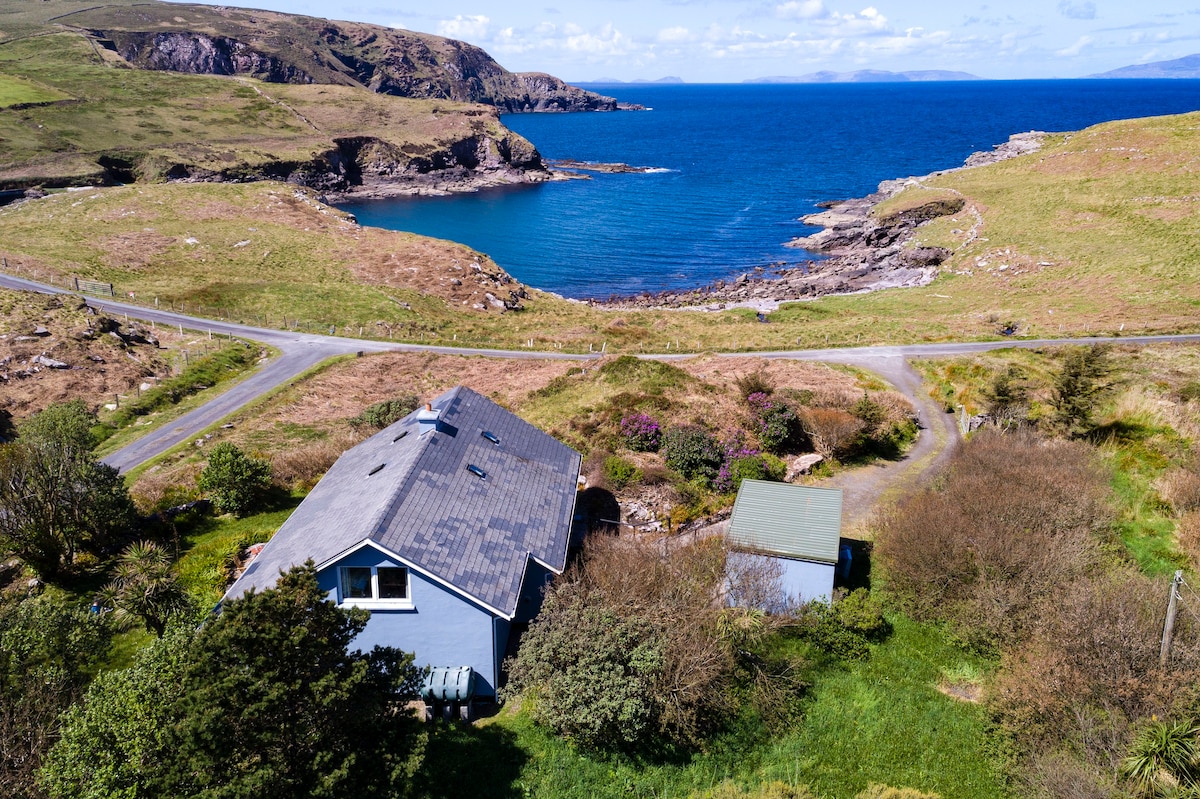
Add your own picture and explain the route, parking, gates, paths or landmarks that help people find it.
Earn 5 points after the picture is checked and accepted.
Add your photo and local directionsShare what you foundWhat is recorded here
In 1892 a souterrain was discovered and apparently destroyed while rock was being quarried from the ‘Turret Field’, Cahersiveen, to make way for railway station buildings (Kerry Sentinel, 30/1/1892). The lintelled roof of the structure occurred ‘a few feet’ below the ground surface, and the souterrain consisted of a number of passages with side-walls of well-built drystone masonry. There were traces of soot on the walls, and oyster and periwinkle shells, ash, charcoal and ‘pieces of iron’ were found in it. It is not marked on the OS maps.
The above description is derived from A. O'Sullivan and J. Sheehan (compilers), 'The Iveragh peninsula: an archaeological survey of South Kerry'. Cork University Press (1996), no. 855. In certain instances the entries have been revised and updated in the light of recent research.
Date of upload: 29 July 2013
The monument record does not grant public access. Check the route and ask the landowner before entering private land.