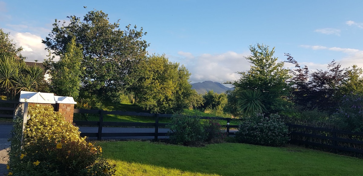
Add your own picture and explain the route, parking, gates, paths or landmarks that help people find it.
Earn 5 points after the picture is checked and accepted.
Add your photo and local directionsShare what you foundWhat is recorded here
This souterrain was excavated in the early 1990s (Connolly 1992, 20-38) following its discovery during the digging of house foundations within a small housing estate. It consists of two stone-built chambers connected by a short stone-built creepway. Chamber 1 (4.55m NW-SE; 1.7m NE-SW; H 1.63m) has a distinct inward batter and its SE end is corbelled. It was roofed with six stone lintels (average dims: 0.59m x 1.25m x 0.17m), four of which were in situ and two of which lay on the ground beside the souterrain at the time of the excavation. Chamber 2 also has a distinct inward batter and is roofed with lintels. An opening (Wth 0.48m; H 0.43m) in the NW end of Chamber 1 and another (Wth 0.42m; H 0.49m) at the S end of Chamber 2 lead into the creepway (1.1m N-S) which is roofed by three flat lintels. Further investigations in 1995, prior to the resealing of the souterrain, identified an unroofed steeply rising entrance passage (L 1.48m; Wth 1m) at the N end of chamber 2 (3.22m N-S; c. 1.35m E-W; H 1.57m) (Connolly 1996, 39-40). A tanged iron sickle, of early medieval date, was found inserted between two stones of the side-wall in the entrance passage (Connolly 1992, 25-34).
The above description is derived from the published 'Archaeological Inventory of County Kerry. Volume I: South-West Kerry' (Dublin: Stationery Office, 2009). In certain instances the entries have been revised and updated in the light of recent research.
Date of upload: 30 May 2011
The monument record does not grant public access. Check the route and ask the landowner before entering private land.