Add your own picture and explain the route, parking, gates, paths or landmarks that help people find it.
Earn 5 points after the picture is checked and accepted.
Add your photo and local directionsShare what you foundWhat is recorded here
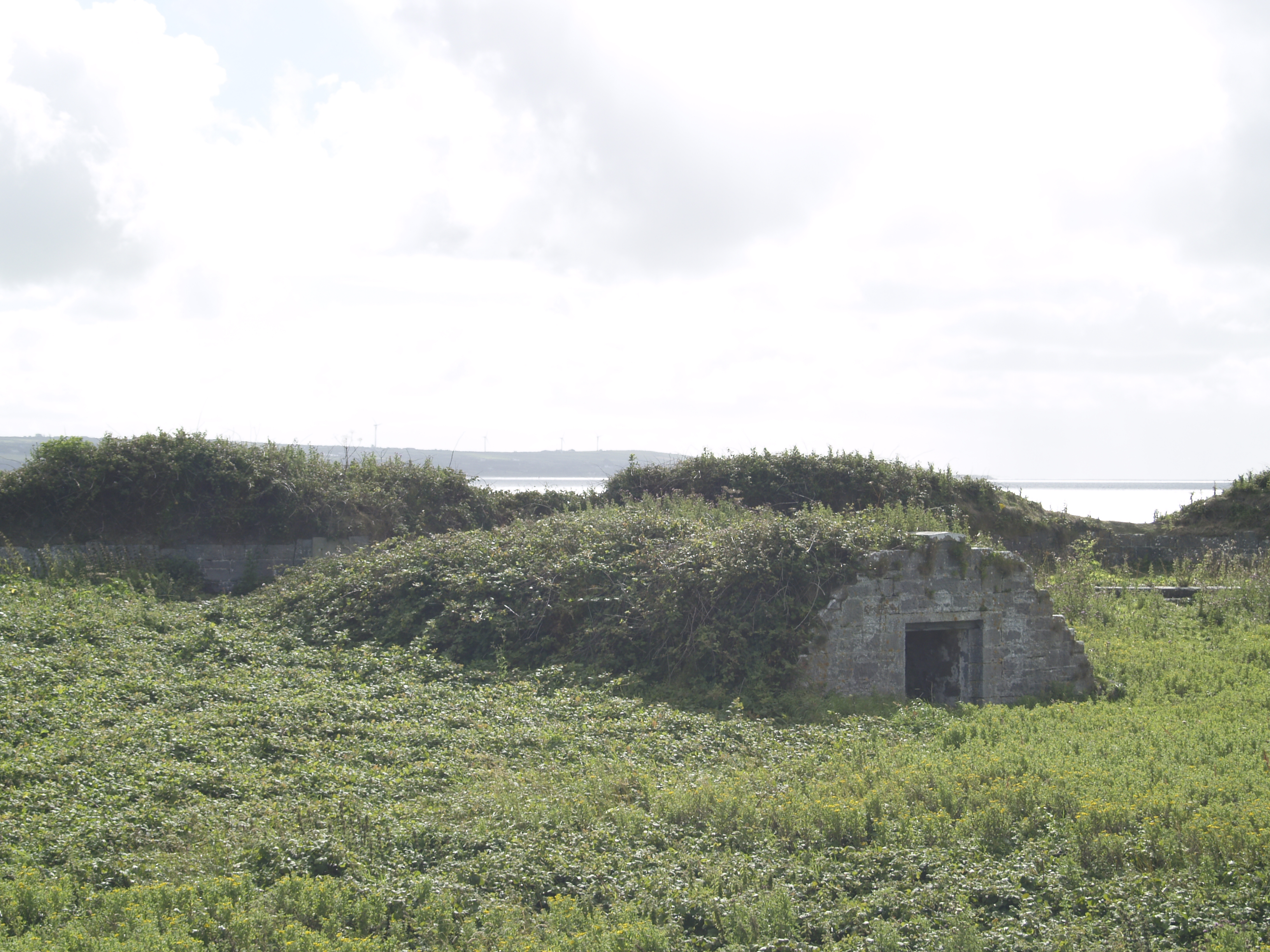
This D-shaped field is formed by denuded stone walls, constructed of flags and boulders, which are now partially sod-covered. The eastern side of the field is formed by rock outcrop. The interior of the field undulates, but no archaeological features were identified. It has a maximum diameter of 70m.
Compiled by: Frank Coyne and Tracy Collins
Date of upload: 30 May 2017
The monument record does not grant public access. Check the route and ask the landowner before entering private land.