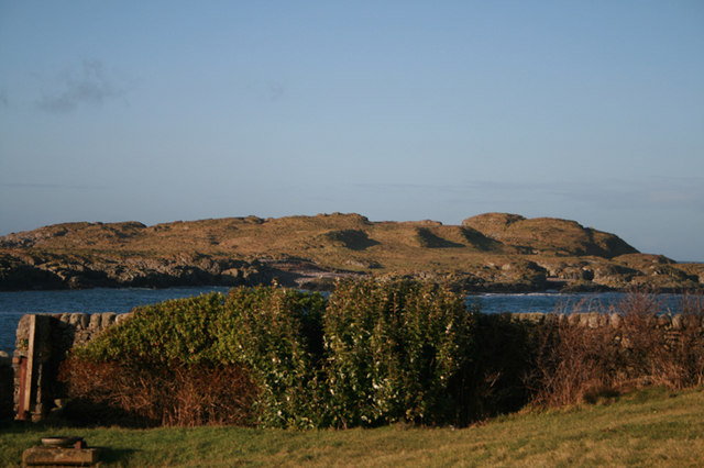
Add your own picture and explain the route, parking, gates, paths or landmarks that help people find it.
Earn 5 points after the picture is checked and accepted.
Add your photo and local directionsShare what you foundWhat is recorded here
This is a circular field, 35m in diameter, which is formed by denuded stone walls, constructed of upright slabs and boulders, which are now partially sod-covered. Occasionally a double row of uprights occur. The wall has a maximum width of 1.4m, and attained a height of 1. The southwest side of the enclosure is formed by a ridge of rock outcrop.
A possible hut site (KE061-004002-) was noted in the southwestern extremity of the field, where a sub-rectangular area of sod-covered collapsed stone, 6m north-south by 3.5m east-west and 1m high occurs. No entrance was noted.
Compiled by: Frank Coyne and Tracy Collins
Date of upload: 30 May 2017
The monument record does not grant public access. Check the route and ask the landowner before entering private land.