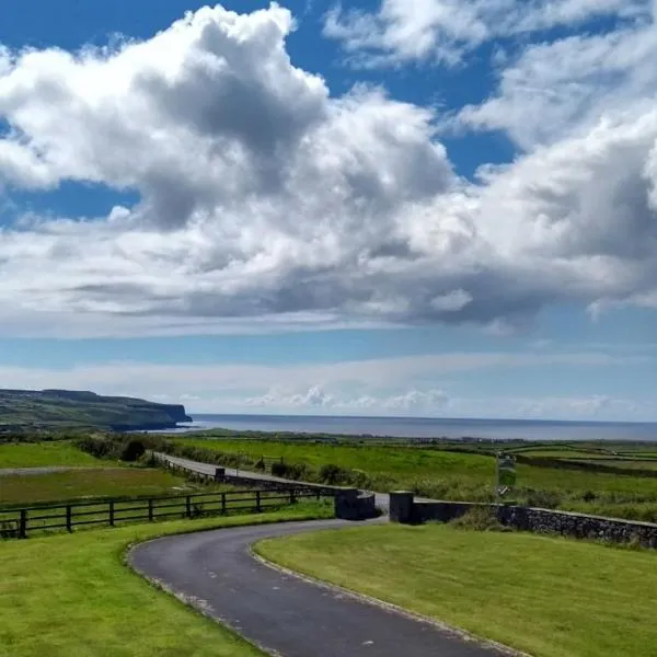
Add your own picture and explain the route, parking, gates, paths or landmarks that help people find it.
Earn 5 points after the picture is checked and accepted.
Add your photo and local directionsShare what you foundWhat is recorded here
In improved, lush pasture, on a NW-facing slope. Reported to the Archaeological Survey of Ireland as the low remains of a small enclosure (one of three). Low profile circular area (diam. c. 8m) defined by scarp (Wth 1.25m; H 0.1m) NW->E->SW. Scarp (Wth 2.5m; H 0.2m) is less defined on the downslope to N. The monument is traceable in this area as a very low rise which is truncated to W by a field boundary (long axis NW-SE) and tertiary road. The remains of a levelled field boundary (long axis ENE-WSW) are to E; This corresponds to boundary depicted upon OS historic mapping.
Compiled by: Alison McQueen and Vera Rahilly
Date of upload: 12 January 2016
The monument record does not grant public access. Check the route and ask the landowner before entering private land.