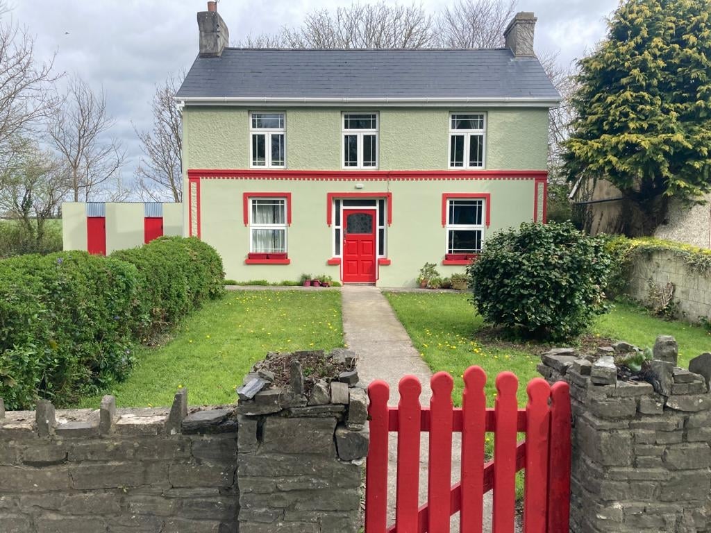
Add your own picture and explain the route, parking, gates, paths or landmarks that help people find it.
Earn 5 points after the picture is checked and accepted.
Add your photo and local directionsShare what you foundWhat is recorded here
This potential feature was reported by Michael Connolly, County Archaeologist, Kerry County Council. It was identified by him during the course of an assessment of a 40 square mile area for the purpose of choosing a road route in 2000 to the north of Killarney. In deciduous forestry plantation, at edge of ESB buffer zone (long-axis NW-SE). Reported to the Archaeological Survey of Ireland as the cropmark of an enclosure. There is no visible surface trace of an enclosure at this location. The grid reference location is at interface between sycamore forest plantation and firebreak corridor. A circular clump of trees is visible on modern aerial photography c. 10m to N (Bing 2015). This is not evident in an earlier aerial image, where it is covered by furze bushes (OSi 2010). The trees in this cluster have self-seeded very close together and are enclosed by dense furze bushes which were impenetrable during the field inspection. No potential feature evident upon historic mapping.
The monument record does not grant public access. Check the route and ask the landowner before entering private land.