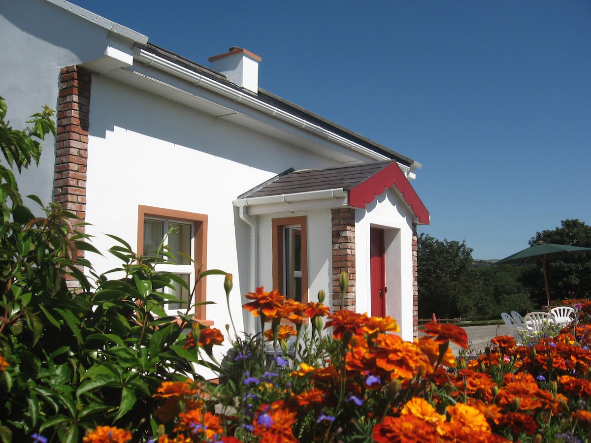
Add your own picture and explain the route, parking, gates, paths or landmarks that help people find it.
Earn 5 points after the picture is checked and accepted.
Add your photo and local directionsShare what you foundWhat is recorded here
This potential feature was reported by Michael Connolly, County Archaeologist, Kerry County Council. It was identified by him during the course of an assessment of a 40 square mile area for the purpose of choosing a road route in 2000 to the north of Killarney. Reported to the Archaeological Survey of Ireland as the cropmark of an oval enclosure. No potential feature depicted at this location upon OSi historic mapping.
The monument record does not grant public access. Check the route and ask the landowner before entering private land.