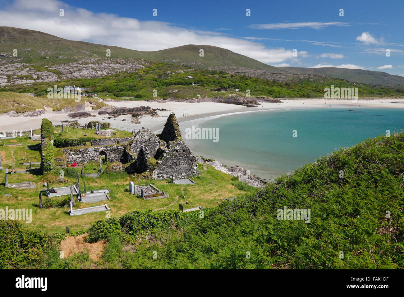
Add your own picture and explain the route, parking, gates, paths or landmarks that help people find it.
Earn 5 points after the picture is checked and accepted.
Add your photo and local directionsShare what you foundWhat is recorded here
In improved pasture, on a gentle S-facing slope. Reported to the Archaeological Survey of Ireland as the cropmark of an enclosure. No visible surface trace of an enclosure at this location. Levelled remains of low profile, sub-circular area (dims. 12m E-W; 10m N-S) defined by gentle scarp (Wth 5.0m; H 0.5m) is located c. 40m to W. It has been levelled and incorporated into field as pasture. No potential feature evident upon historic mapping and not apparent on modern aerial photography (OSi 2010; Bing 2015).
Compiled by: Alison McQueen and Vera Rahilly
Date of upload: 11 September 2015
The monument record does not grant public access. Check the route and ask the landowner before entering private land.