Add your own picture and explain the route, parking, gates, paths or landmarks that help people find it.
Earn 5 points after the picture is checked and accepted.
Add your photo and local directionsShare what you foundWhat is recorded here
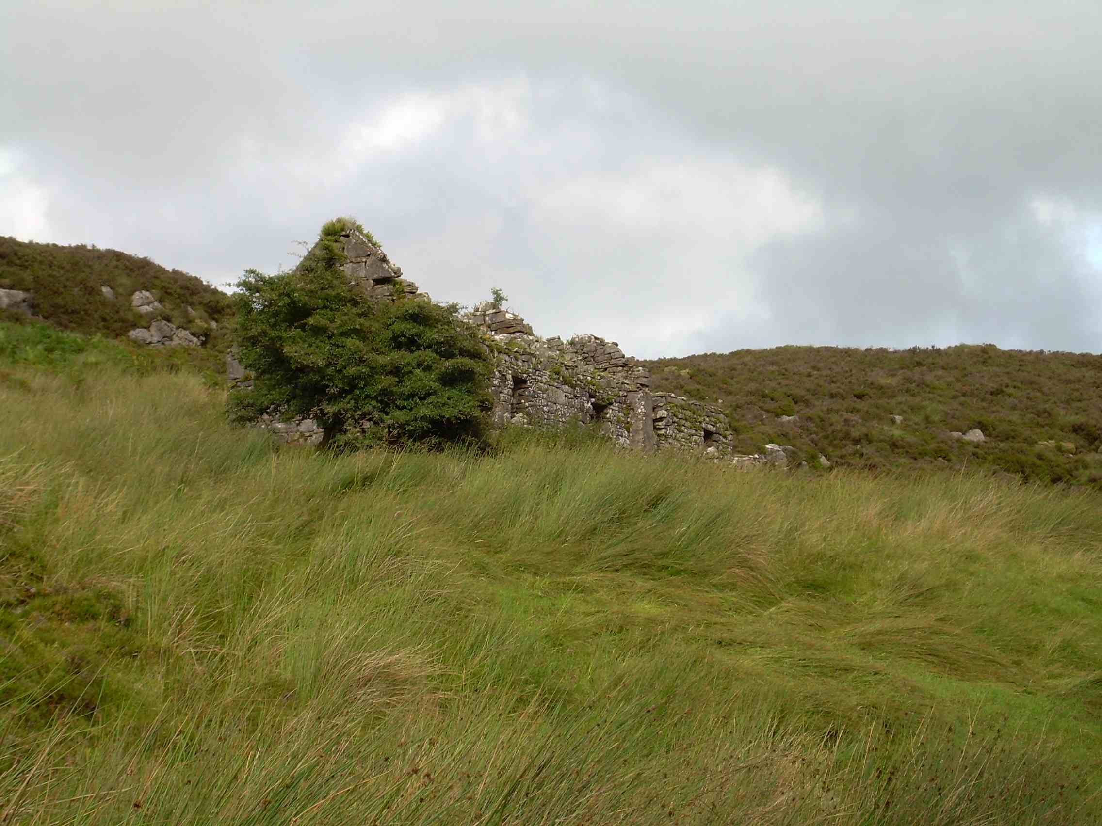
Caheradadurras/Cathair Sayers/Cathair an dá Dhoras (National Monument no.156/1-5): A triple clochaun, of corbelled drystone construction, with a souterrain opening from the floor of the central hut, and a subsidiary structure at the SE corner which may be modern. It is located on the lower S slopes of Mount Eagle, overlooking Dingle Bay.
Souterrain (KE052-186001-): The well entrance at the W side of the middle clochaun is located at the E end of an L-shaped souterrain, comprised of a 3.22m long passage running roughly E-W, and a 2.75m long chamber aligned N-S. The passage is .55m wide, .67m high at the entrance and 1.2m high at its W end. A narrow lintelled entrance, .37m wide and .55m high, gives access to the chamber which is 1.05m wide and 1.25m high. The walls are of drystone construction throughout, the basal course consisting of larger stones then the remainder. The floor slopes gently down from the entrance, though the flagged roof maintains a constant level. The flags over the passage form the floor of the entrance passage above.
The above description is derived from J. Cuppage, ‘Corca Dhuibhne. Dingle Peninsula archaeological survey. Ballyferriter. Oidhreacht Chorca Dhuibhne’ (1986), no. 1284. In certain instances the entries have been revised and updated in the light of recent research.
Date of upload: 5 August 2013
The monument record does not grant public access. Check the route and ask the landowner before entering private land.