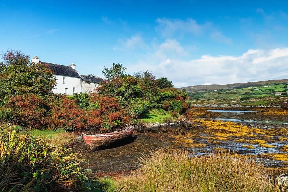
Add your own picture and explain the route, parking, gates, paths or landmarks that help people find it.
Earn 5 points after the picture is checked and accepted.
Add your photo and local directionsShare what you foundWhat is recorded here
Cashel KE045-093---- and souterrain KE045-093001- are situated on a tract of level ground, on the lower S slopes of the coastal mountain ridge that borders the N side of Castlemaine Harbour.
The souterrain is located in the NW part of the interior. The accessible portion consists of the E end of a drystone-built passage which measures 1.52m in width, 1.15m in height and at least 2.9m in length. The walls are slightly corbelled so that the passage width is reduced to .8m at roof level. Only the easternmost roof-slab remains in situ. The next roof-slab has collapsed inwards effectively blocking the passage and the original extent of the latter could not be determined. The E wall is slightly curved and a creepway leads E from its base. However, the opening is only .4m wide and .16m high and is blocked after .3m.
The above description is derived from J. Cuppage, ‘Corca Dhuibhne. Dingle Peninsula archaeological survey. Ballyferriter. Oidhreacht Chorca Dhuibhne’ (1986), no. 541. In certain instances the entries have been revised and updated in the light of recent research.
Date of upload: 7 August 2013
The monument record does not grant public access. Check the route and ask the landowner before entering private land.