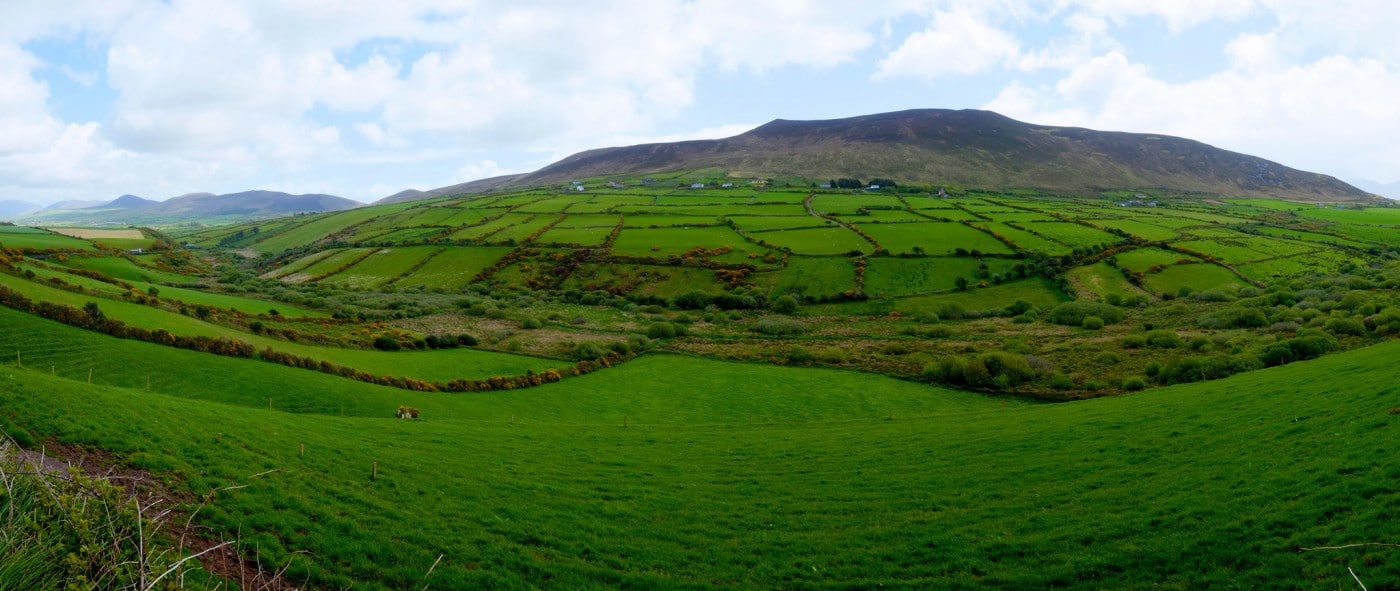
Add your own picture and explain the route, parking, gates, paths or landmarks that help people find it.
Earn 5 points after the picture is checked and accepted.
Add your photo and local directionsShare what you foundWhat is recorded here
Circular univallate rath KE044-054----, with hut site (KE044-054001-) and souterrain (KE044-054002-), is situated on level pastureland about 350m W of the Owenascaul river.
The souterrain KE044-054002- lies near the centre of the enclosure and the visible section consists of a short stretch of passage aligned NNE-SSW, at the SSW end of the ESE wall of which a porthole slab formerly provided access to a D-shaped chamber. The passage is 1.5m wide, .5m high and 2.5m long at present, but both ends are blocked by collapse. The collapse of portion of the roof at SSW provides the only means of access to the passage but it has also blocked the entrance to the chamber. The chamber measures c. 3.75m NNW-SSE x 1.75m WSW-ENE x 1m in height and at present access is provided by a hole in the roof at the SE corner. Both sections of the souterrain are of neat drystone construction, the roof being formed by a series of large flags.
The above description is derived from J. Cuppage, ‘Corca Dhuibhne. Dingle Peninsula archaeological survey. Ballyferriter. Oidhreacht Chorca Dhuibhne’ (1986), no. 373. In certain instances the entries have been revised and updated in the light of recent research.
Date of upload: 6 August 2013
The monument record does not grant public access. Check the route and ask the landowner before entering private land.